Scouting the trails of newly re-opened Pt Mugu State Park
Here is what I found when I rode all the multi-use trails a few days after Pt Mugu State Park re-opened on January 30th. The park had been closed since mid-December when heavy rains brought mudslides to the fire-denuded park. During the closure, heavy equipment was used to clear up the extensive damage on the fire roads, and small groups of volunteers were fixing some bad spots on singletrack trails, using hand tools. In fact, volunteer groups will be converging on the park throughout February to help fix the trails. You can help! Here’s the schedule: 2015-01-22 PMSP Trailwork Schedule.
My first impression was that there were a lot of people in the park for a Tuesday morning. No doubt they were as curious about its condition as I was. (There are a number of photos below that show a typical condition, and a much larger photo gallery to show more trail problems, large and small.) One pleasant surprise was that the wildflowers are coming out, in abundance in some places. I’ve included pictures of some of them in the photo gallery.
I entered the park from the north end, through Rancho Sierra Vista/Satwiwa. There are signs posted at the entrance to Pt Mugu State Park (PMSP) indicating that you can’t get through to the coast, and that there is no water in the park.
On the main Sycamore Canyon Fireroad, there were numerous shallow mudslides that had come down the hill and crossed the road. Some were narrow and others were quite wide. All of them had been cleaned up. The whole road was smooth and quite broad. Unfortunately, I wasn’t able to make it to the campground because the road was closed south of the point where Overlook Fireroad comes into it.
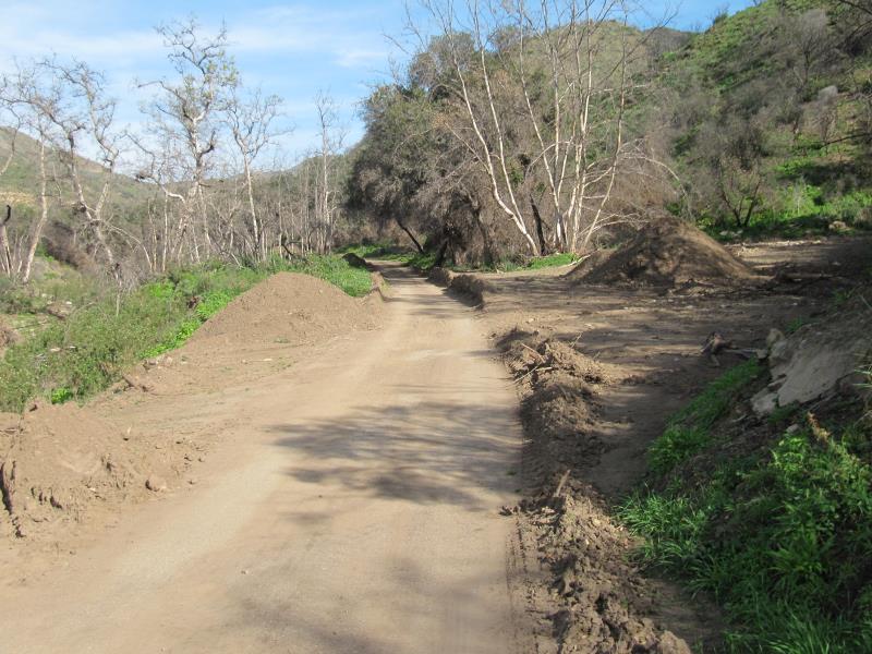
Piles of dirt that were removed from the main Sycamore Canyon Fireroad.
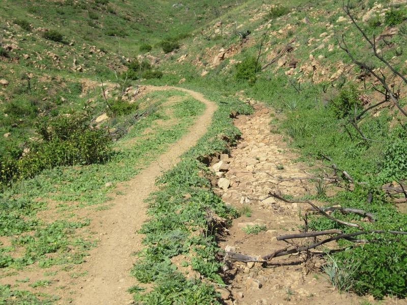
Sin Nombre and Two Foxes Trails had had lots of tiny mudflows across them, leaving small ridges perpendicular to the trail. They make for a bit of a bumpy ride. There were several ruts in the hillside above and below the trail where a small stream crossed, but did very little or no damage to the trail. There were a few spots where larger streams did damage the trail, leaving ruts and/or rocks and dirt.
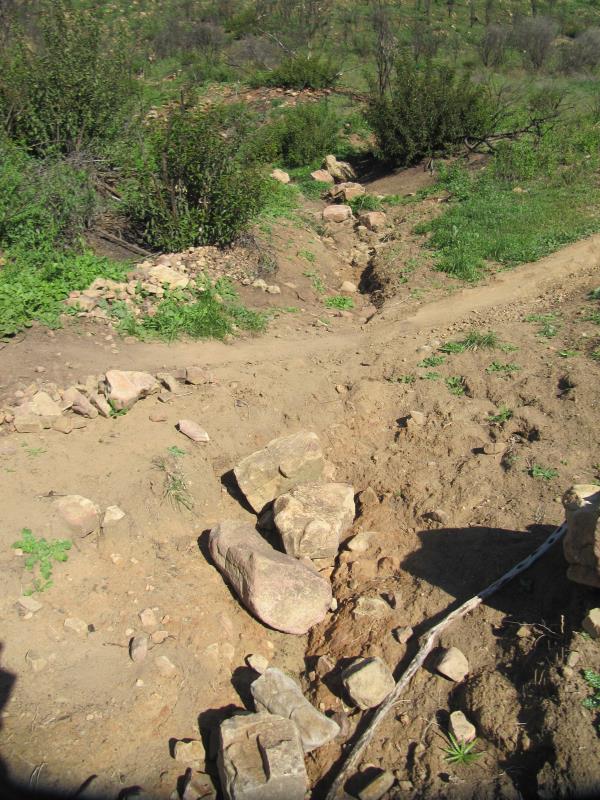
A small stream crossed Sin Nombre but did little damage to the trail.
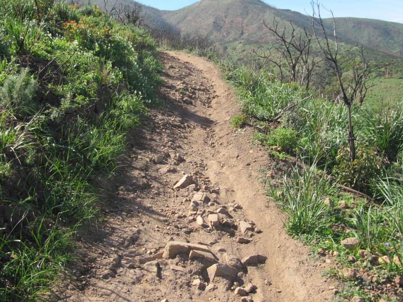
On the Wood Canyon Vista Trail, a segment of the Backbone Trail, there were five notable kinds of features on the trail. Most noticeable was the lack of serviceable drainage dips. Of the 84 drains we installed after the Springs Fire in 2013, almost all were choked with debris, and many couldn’t even be distinguished from the rest of the trail. Large stretches of trail had mud and water flowing across it, leaving small ridges perpendicular to the trail. Other large stretches had water running down the trail, removing all the dirt and sand, leaving a very rocky surface. The clay stretch about 2/3 of the way up has become deeply trenched and rutted. Finally, some trailwork has already been done, and there the surface was generally smoother and outsloped, but slightly loose.
Water running down the Wood Canyon Vista Trail has removed most of the dirt, leaving a lot of exposed rocks.
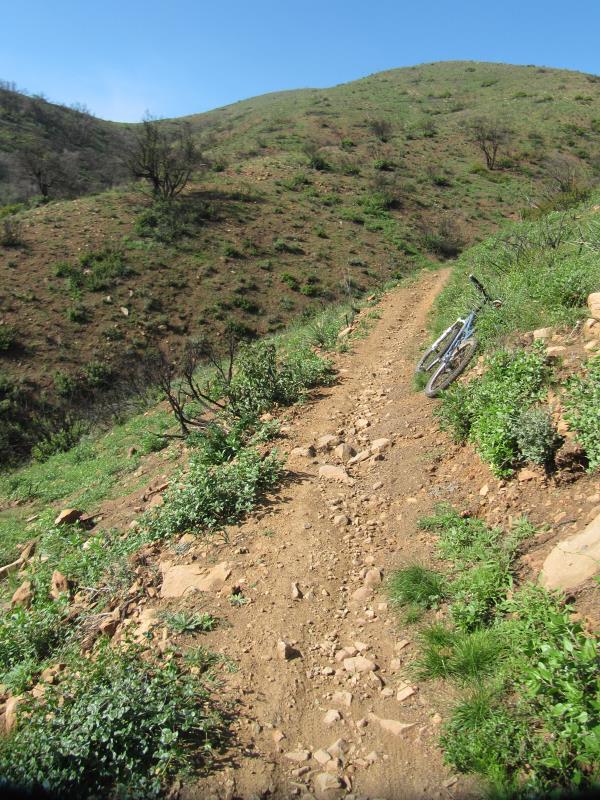
Climbing the old ranch road section of Guadalasca, I saw a lot of damage. However, it was mostly easy to avoid because the trail there follows an old wide roadbed. The top 20% of the singletrack downhill, where we had worked after the Springs Fire, was in very good shape. However, it was a different story for the rest, where it had already been quite rutted. Most of it was only slightly worse, but the worst sections were much worse than they had been. You can avoid the ruts now by using the very edge of the trail, but that won’t be an option once the vegetation grows up again. In the two places where the trail crossed a small stream with a culvert under the trail, the culvert had become blocked and the upstream streambed was completely filled with silt, while below the trail, the streambed was scoured down to bare rocks. The trail crossing the stream had acted as a dam and held back the dirt and rocks that were washing downstream. Finally, the lower old ranch road section had also become much more rutted, and the culverts under the trail had become exposed.
A really bad section on Guadalasca. You can see how the trail is getting wider because people are travelling on the outside edge to avoid the rocks.
During the Santa Monica Mountains Trail Day in April 2014, a large group of volunteers essentially rebuilt the Sage Trail. After the December flooding, the trail remains mostly intact, but we were very lucky that it wasn’t annihilated. The trail runs near the outside edge of an old roadbed. For most of it’s length, water and mud streamed down between the trail and the hillside creating a wide trench, crossing the trail occasionally and flowing off the edge. Most of the armoring rock walls we built to protect previous washouts were intact, but the water flowed around them to enlarge the washouts, generally on the downhill side. Two of the armoring walls didn’t fare well at all.
The next heavy rain may obliterate sections of the Sage Trail if the rut gets much wider.
Finally, here’s what you can see in one spot at the side of the Wood Canyon Vista Trail.
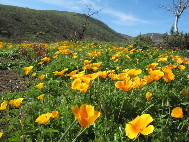
California Poppies at the side of the Wood Canyon Vista Trail
Don’t forget, you can help restore the trails! Here’s the schedule for volunteer work days: 2015-01-22 PMSP Trailwork Schedule.


0 Comments