Photos of VenturaCountyTrails. Click on an image to see it full size.
We took the jeep to
 |
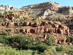
Calf Creek Trail
|
|
 |
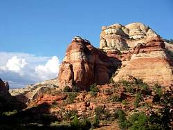
Calf Creek Trail
|
|
 |
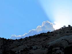
Calf Creek Trail
|
|
 |
Calf Creek Trail
|
|
 |
Calf Creek Trail
|
|
 |
Calf Creek Trail
|
|
 |
Calf Creek Trail
|
|
 |
Calf Creek Trail
|
|
 |
Calf Creek Trail
|
|
 |
Calf Creek Trail
|
|
 |
Calf Creek Trail
|
|
 |
Calf Creek Trail
|
|
 |
Calf Creek Trail
|
|
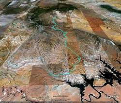 |
Google Eath view of our route along Smoky Mountain Road, looking north. We started in Escalante (top end) and ended in Big Water. That's Lake Powell at the lower right.
|
|
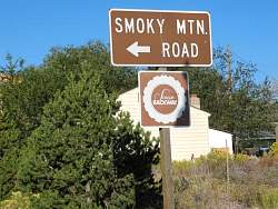 |
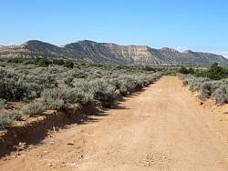
Smoky Mountain Road
|
|
 |
Smoky Mountain Road
|
|
 |
Smoky Mountain Road
|
|
 |
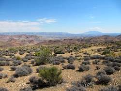
The first third of the route or so was very winding with lots of tall trees, making it difficult to take pictures of the surroundings. This was the first place that was wide open.
|
|
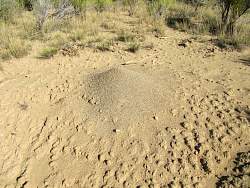 |
This ant hill was about 2 feet in diameter!
|
|
 |
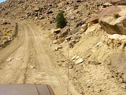
Smoky Mountain Road
|
|
 |
Smoky Mountain Road. You can get to Hole in the Rock Road from here. It's east, and down in the valley.
|
|
 |
Smoky Mountain Road
|
|
 |
Smoky Mountain Road
|
|
 |
Smoky Mountain Road
|
|
 |
Smoky Mountain Road
|
|
 |
Oops!
|
|
 |
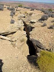
See the hole in the rock up at the top?
|
|
 |
The southern third of the road was quite featureless, but a lot less rocky and faster to drive
|
|
 |
We got a bit of an overlook of Lake Powell and Glen Canyon to the south-east from here. It doesn't look like much at mid-day.
|
|
 |
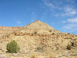
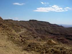
This is an old coal seam that has burned out. The mountain gets its name from coal constantly burning underground, but we didn't see any smoke or active burning.
|
|
 |
Looking down the Kelly Grade on Smoky Mountain Road. You can see Lake Powell in the background
|
|
 |
Google Earth view of the Kelly Grade, looking north-east.
|
|
 |
On the Kelly Grade
|
|