|
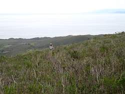
Islay Creek Road below and to the north-west
|
|
|
|
|
|
 |
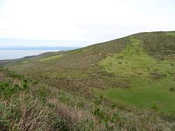
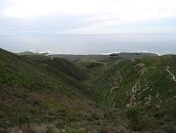
Almost to the connector that will take us to the Valencia Peak Trail. You can see the connector trail across the top-left.
|
|
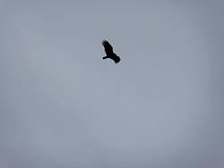 |
We saw lots of these gliding in circles. Not sure if they're huge crows or very dark vultures.
|
|
 |
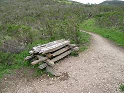
Top of the Beebe Trail. We don't go that way.
|
|
|
|
 |
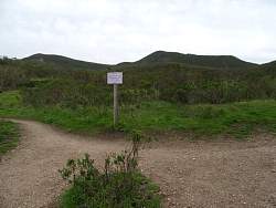
We head for the connector trail.
|
|
 |
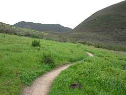
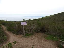
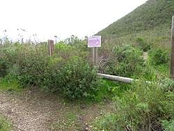
This trail to the connector turns out to be part of a loop of the Oats Peak Trail. Clearly it's not as well used as the other route.
|
|
 |
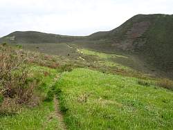
We can see the other fork, the road more taken, that goes to Oats Peak.
|
|
 |
We'll continue on the Oats Peak Trail for a bit just to see where it goes, then come back and take the Connector Trail.
|
|
 |
This is as far as we went on the Oats Peak Trail.
|
|
 |
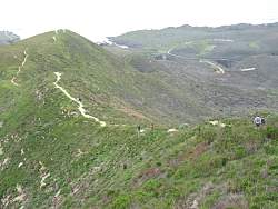
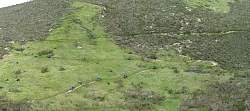
Once we start climbing the Valencia Peak connector trail, we get better views of the more travelled fork of the Oats Peak Trail.
|
|
|
|
 |
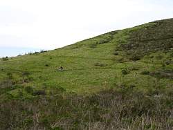
Must be a team or club of some sort on a group ride ;-)
|
|
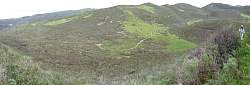 |
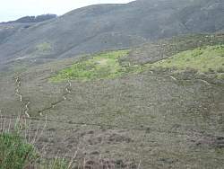
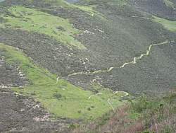
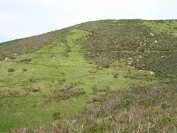
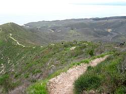
From higher up, you can see a lot of the Oats Peak Trail. Notice how it undulates.
|
|
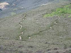 |
In this view, you can clearly see it snaking left and right, and undulating up and down. This makes the trail shed water so ruts don't form so easily, slows down bikers coming downhill, and is much more fun to ride!
|
|
|
|
 |
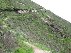
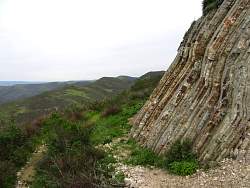
This connector trail doesn't get as much traffic as the Oats Peak Trail (or as the Valencia Peak Trail as we will soon discover).
|
|
|
|
|
|
|
 |
Almost to the Valencia Peak Trail, we can start to see it below us.
|
|
 |
Looking up the Valencia Peak Trail
|
|
 |
Looking down the Valencia Peak Trail
|
|
|
|
|
 |
Looking back at the Oats Peak Trail
|
|
 |
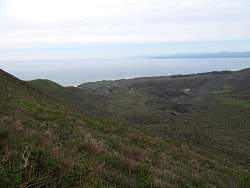
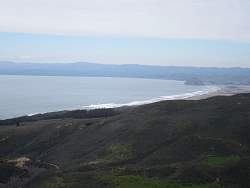
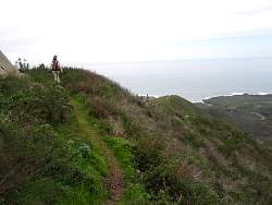
It's a long way down to the coast!
|
|