 |
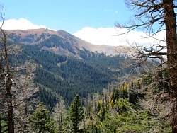
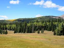
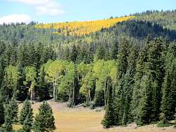
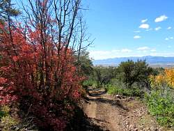
Looking back up the hill, some of the trees are changing color.
|
|
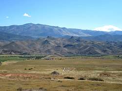 |
Marysvale sits in this valley. The Sevier River goes through the valley, so is this the Sevier River Valley?
|
|
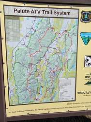 |
This very helpful map sits at the bottom of Beaver Canyon Road. From it I learned that there was a trail that would take me back to Beaver, so I didn't have to ride miles on the pavement of Hwy 153.
|
|
 |
I had lunch in Marysvale, bought a map of the Paiute Trail System, and headed back up Beaver Canyon Road.
|
|
|
|
|
|
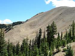 |
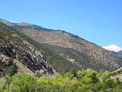
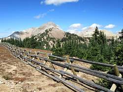
There's an interesting pattern of tracks across this hillside.
|
|
|
|
|
|
|
|
|
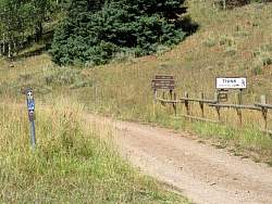 |
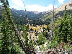
This was the start of the alternate route I took back to Beaver. It was a road here, but turned into an ATV trail after a few miles.
|
|
 |
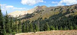
This is the ATV trail I took back, rated "Most Difficult." It was easy here, but there was a couple of miles of steep, rocky downhill. Very bumpy!
|
|
 |
The ATV trail came out in the valley a few miles north of Beaver.
|
|
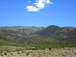 |
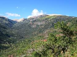
Somewhere on that hillside is the trail I just came down.
|
|
 |
Back in Beaver, it looks like the hay is about ready to be harvested.
|
|