 |
The Big John Flat Road from Hwy 153 was in great shape, easily good enough for a 2-wheel drive car. The route down from the top to Marysvale, Beaver Canyon Rd, was in almost as good shape. Surprisingly, both were rated as "More Difficult" for ATVs.
|
|
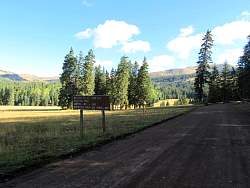 |
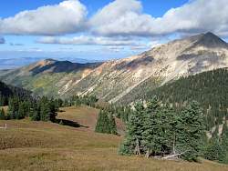
Big John Flat
|
|
|
|
|
 |
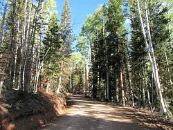
The road through Big John Flat
|
|
 |
Take a look a the 'campers' near the bathroom!
|
|
|
|
|
|
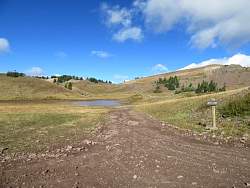 |
Mud Lake is more like a pond, or even a big puddle.
|
|
 |
A view of Mud Lake from above
|
|
 |
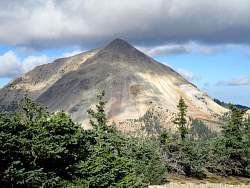
This was the highest point, or close to it. The next pictures are from along Beaver Canyon Road on the way down to Marysvale.
|
|
|
|
|
|
|
|
|
|
|
|
|
 |
You get a good view of the road ahead from here.
|
|