|
|
 |
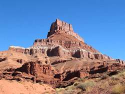
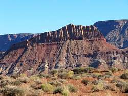
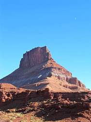
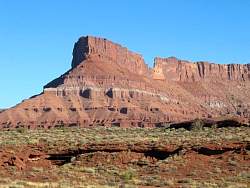
I love the look of this chocolate brown rock formation. I took several pictures of it.
|
|
|
|
|
|
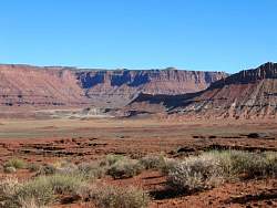 |
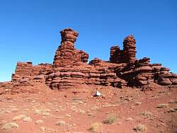
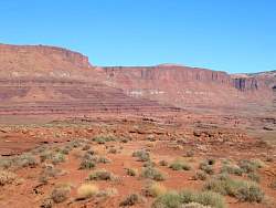
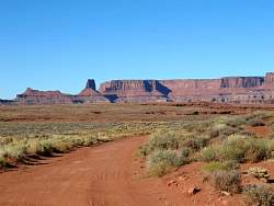
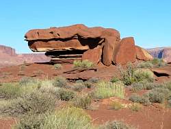
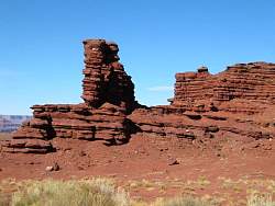
I thnk this is Lockhart Basin. It's east of the road.
|
|
|
|
|
|
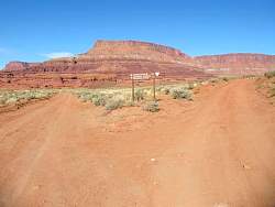 |
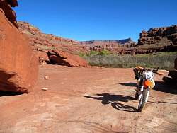
I went left down Lockhart Canyon to the Colorado River
|
|
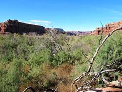 |
The end of the road in Lockhart Canyon at the Colorado River. There seems to be a flood plain here, covered with trees that block the view of the river.
|
|
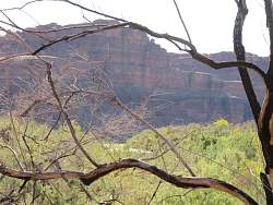 |
If you look in just the right direction through the vegetation, you can see a tiny bit of the river
|
|
 |
Looking back up Lockhart Canyon from the Colorado River
|
|
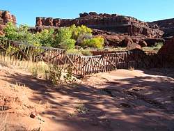 |
At the National Park boundary, these fence segments hang from a cable to block the river. I saw this arrangement where another stream crossed a park boundary, too. I don't know if they're trying to keep something in, or out.
|
|
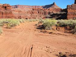 |
The road in Lockhart Canyon crossed the stream many times. In many places, the drop was 1-2 feet from the road to the streambed, with a very sandy bank. It wasn't difficult to cross on a motorbike, but it might have been a challenge to some jeeps.
|
|
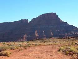 |
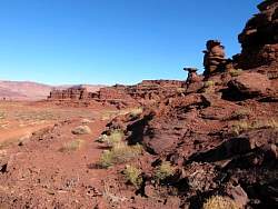
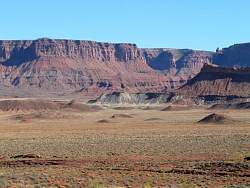
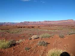
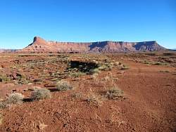
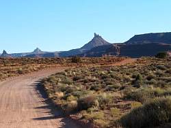
Heading back to camp along the Lockhart Basin Road, I see the back side of formations I saw on the way out.
|
|
|
|
|
|
|
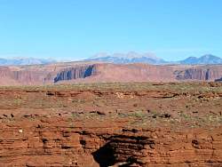 |
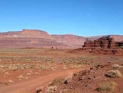
The La Sal Mountains can be seen in the far distance from this spot.
|
|
|
|
|
|
|
|
|
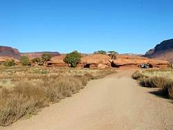 |
The BLM has a campground here, Indian Creek. It looked like a great location for camping.
|
|
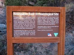 |
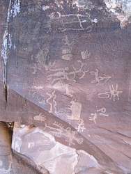
Newspaper Rock is next to the road that leads to the Needles District of the park.
|
|
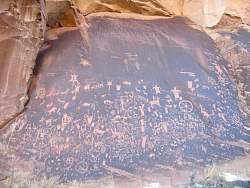 |
Newspaper Rock
|
|
 |
Newspaper Rock
|
|
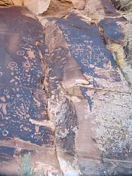 |
Newspaper Rock
|
|
|
|