|
|
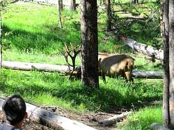 |
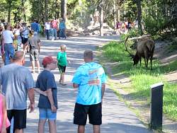
It's not just tourists that hang out here!
|
|
 |
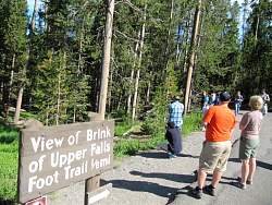
Approaching Brink of Upper Falls
|
|
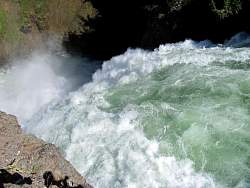 |
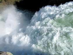
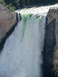
At Brink of Upper Falls
|
|
|
|
|
|
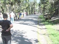 |
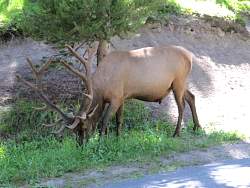
The elk is staying in the shadows where he's hard to see.
|
|
|
 |
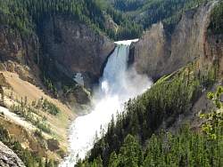
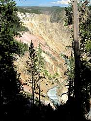
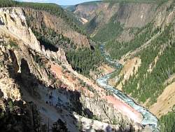
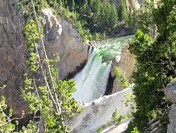
This is the (higher) Lower Falls, from the other side of the river compared to Artist's Point
|
|
 |
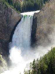
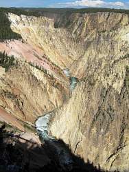
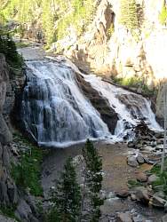
There's a better view a little further along the path
|
|
 |
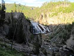
There's also an overlook above these falls, but I didn't have enough time to hike down there.
|
|
|
|
|
|
|
|
|
|
|
|
|
 |
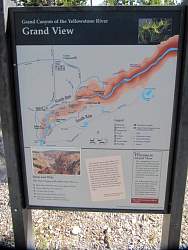
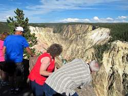
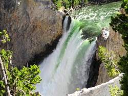
You get a better view of the downstream river here, compared to Artist's Point on the other side.
|
|
|
|
|
 |
The sign says Gibbon Falls Trail.
|
|
 |
Gibbon Falls is on the Gibbon River, quite a distance from the Yellowstone River. The river was named for General John Gibbon of the US Army, not the outdoorsman Euell Gibbons, the shill for Grape-Nuts cereal in the 1970's.
|
|
 |
The way the falls were in deep shadow in the late afternoon, I was afraid that they wouldn't show well in the photos.
|
|
|