|
|
|
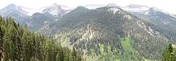 |
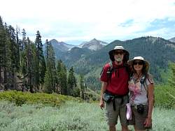
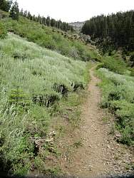
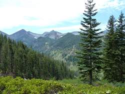
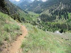
This is the view from where we turned around, roughly about half way to Timber Gap
|
|
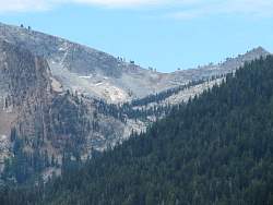 |
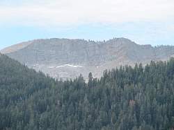
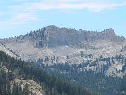
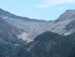
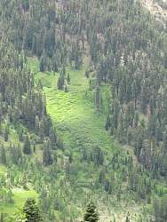
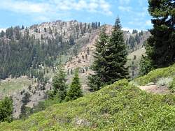
The next few photos show zoom-ins of the mountains across from us
|
|
|
|
|
|
|
|
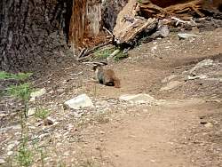 |
A yellow-bellied marmot on the trail, missing out on the chance to chew on the bottom of somebody's car!
|
|
|
|
|
|
|
|
|
|
|
|
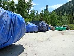 |
Back at the parking area, more cars have been wrapped up to protect them from voracious marmots!
|
|
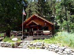 |
The ranger station at Mineral King
|
|
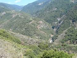 |
Now for some views on the drive back down...
|
|
|
|
 |
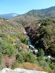
Look carefully and you can see waterworks down below
|
|
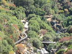 |
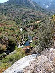
The snaking structure is a flume that was built about 100 years ago to take water to a power station
|
|
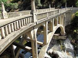 |
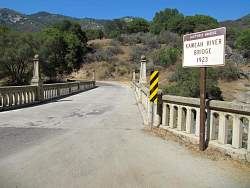
This bridge was built in 1923
|
|
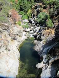 |
Looking upstream from the middle of the bridge
|
|
|
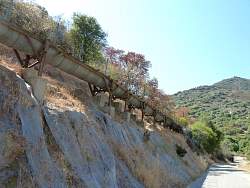 |
The flume from below. It was built before the road was
|
|
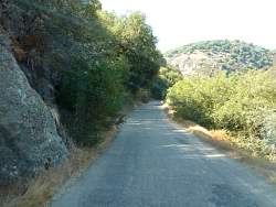 |
The road near the bottom is wider and less curvey than further up
|
|
|