 |
On the Canyon Trail
|
|
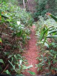 |
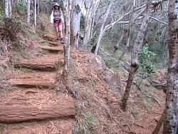
This trail gets a lot of use, but it rains so much here that it gets overgrown quickly.
|
|
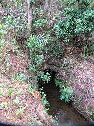 |
This explained all the "ditches" listed on the maps that seemed to go up and down steep mountains. They go underneath in tunnels, occasionally coming to light, like here...
|
|
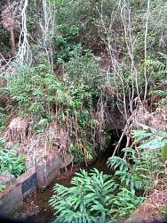 |
... and then disappear into another tunnel in about 30 feet.
|
|
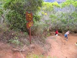 |
We take the other fork here on the way back
|
|
 |
There must be a good view into the canyon from there
|
|
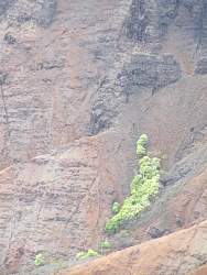 |
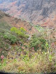
On the other side of the canyon, plants struggle to climb against the onslaught of constant landslides
|
|
|
|
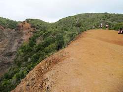 |
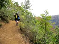
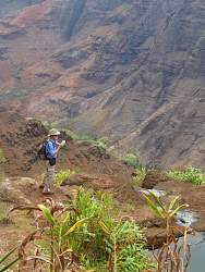
Most of the trail was much narrowerthan this. Here we're on the very rim of the canyon. The dropoff on the left is very steep, very loose and very far down!
|
|
 |
A little further on, the dirt is much brighter red
|
|
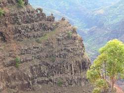 |
Arches across the way!
|
|
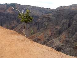 |
A tree clings to the edge
|
|
 |
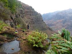
Lots of people on the trail. This view is looking up, but we're headed down, toward the falls.
|
|
|
|
|
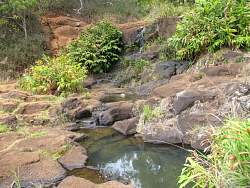 |
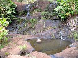
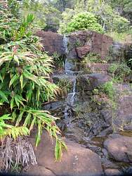
Finally, the pools at the top of the falls! The irrigation ditches take so much water from the river that there's almost nothing left for the falls
|
|
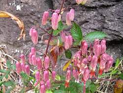 |
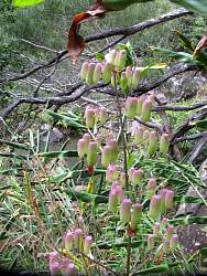
There were lots of this flower at the top of the falls
|
|
|
|
|
|
 |
It's always hard to see depth in a photo, but here we're looking down the falls to the valley, 800' below. The first drop is only about 100' (foreground) then 700' more over the second edge.
|
|
 |
Standing on the edge
|
|
 |
Another look at the pools at the top of the falls. That trickle is all the water that was left to go over. Maybe it all evaporates before it makes it to the bottom, 800' down?
|
|
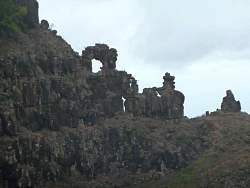 |
A closer look at the arches. From this angle we can see that there are lots of them
|
|
 |
The waterfall again
|
|
|
 |
Other tourists at the top of the falls
|
|
 |
The Canyon Trail continued to what is described as a spectacular lookout, but beyond the falls it was very very steep and had this very narrow section blocking our way early on. There was basically a 2' jump to continue on.
|
|
|