 |
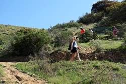
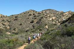
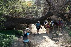
The trail is better here, not quite as steep with the switchbacks.
|
|
|
|
|
|
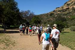 |
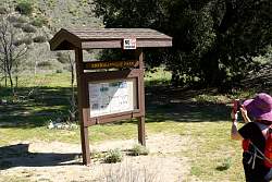
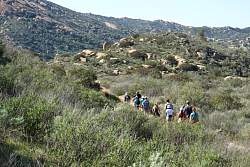
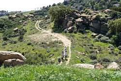
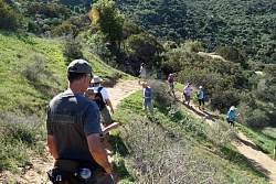
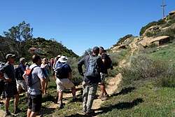
Starting out on the Corriganville Loop Trail
|
|
|
|
|
|
|
|
|
|
|
|
|
|
|
|
|
 |
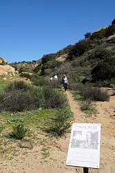
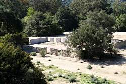
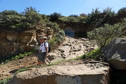
The end of Corraginville
|
|
 |
Another tree falls victim to the drought
|
|
|
|
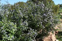 |
California Lilac is in bloom
|
|
|
 |
This jeep road will take us over the top to our cars on Santa Susana Pass Road
|
|
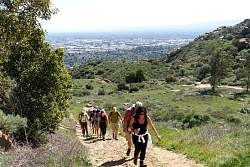 |
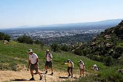
The San Fernando Valley is behind us now
|
|
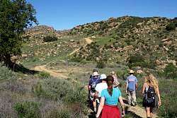 |
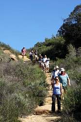
There's still some climbing to get to the top before we start down the other side.
|
|
|
|
|
 |
The descent to Santa Susana Pass Road. The road in the picture is the 118 freeway.
|
|
|
|
|
 |
People just dump their junk at the side of the road. You'd think this was Lancaster!
|
|
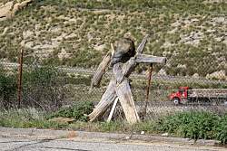 |
A small Burning Man at the side of the road?
|
|
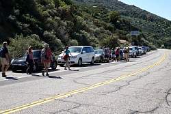 |
Back to the cars
|
|
 |
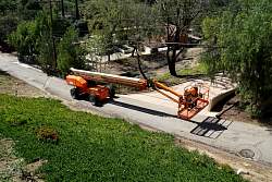
An interesting machine seen on the way home
|
|
|
|
|
|