 |
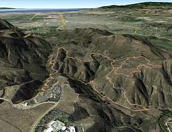
View of our route, looking west-southwest, courtesy of Google earth. We started at the lower left, circled the large loop clockwise, and the small loop counterclockwise.
|
|
 |
Google Earth view of our route, lookine south-east. We started at the most distant point, about the middle of the image.
|
|
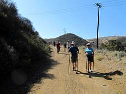 |
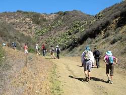
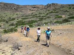
Starting down the Edison Road to get to the bottom of the canyon
|
|
|
|
 |
Climbing up the Peninsula Trail
|
|
 |
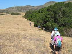
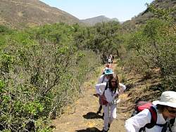
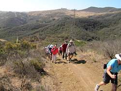
Starting along the Hawk Canyon Rim Trail
|
|
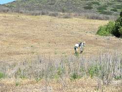 |
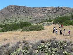
We came across some COSCA rangers spraying weed killer on the fennel, an invasive plant they're trying to erradicate
|
|
|
|
|
|
|
|
 |
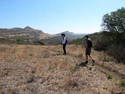
Regrouping on the Western Plateau Trail
|
|
|
 |
On to the Outlaw Trail
|
|
|
|
|
|
 |
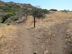
Lots of turns on this trail!
|
|
|
|
|
|
 |
This is the Hawk Canyon Trail. Soon we'll see some trees and shade
|
|
|
|
|
|
 |
The end of the Hawk Canyon Trail, where we turn left and head back up the Edison Road to the cars.
|
|