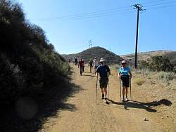
Google Earth view of our route, lookine south-east. We started at the most distant point, about the middle of the image.
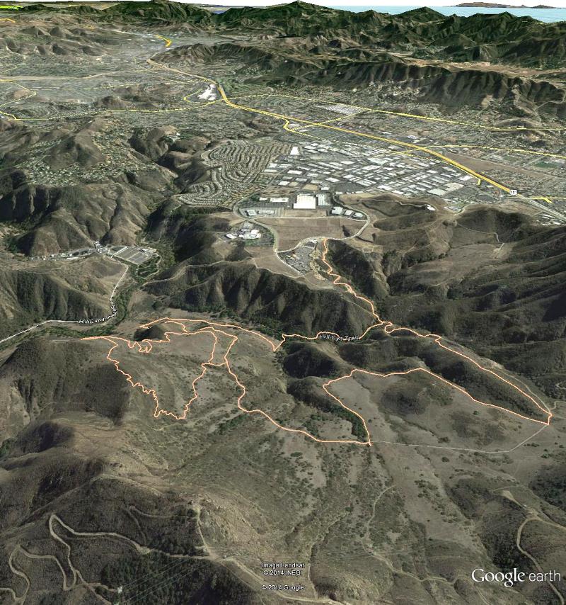
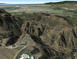
Image 2 of 27
Google Earth view of our route, lookine south-east. We started at the most distant point, about the middle of the image.
|
||
Image 2 of 27 |
||
|
Image 2 of 27
|