 |
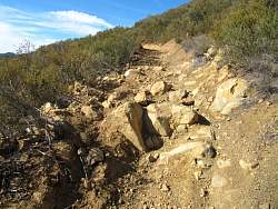
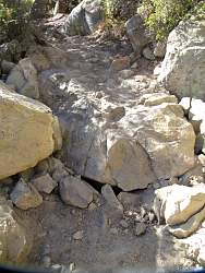
...But this step, over 2' high, is a different story. If I were to ride my motorbike up here, this would be the end of the line, unless I built a ramp out of rocks to get up. This is 2.2 miles from the bottom.
|
|
 |
A little further up the trail, more nasty rocks.
|
|
 |
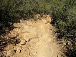
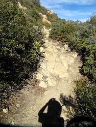
Some of the trail is still nice
|
|
 |
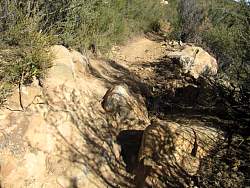
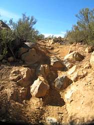
The rocks in the trail are getting bigger and looser
|
|
|
 |
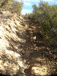
Small, loose, marble-like slippery rocks
|
|
 |
Larger, loose, slippery rocks!
|
|
 |
It just keeps getting more and more nasty!
|
|
 |
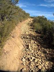
The start of a deep rut that will catch your pegs
|
|
 |
The trail below. The view in that direction is much better than looking at the trail here!
|
|
|
|
|
|
|
 |
The trail levels off here and is in much better condition
|
|
 |
There are still rocks of course
|
|
 |
This is as far as I hiked up, about 3 miles from the bottom
|
|
 |
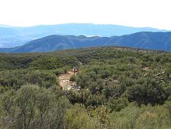
The surroundings are beautiful here!
|
|
 |
On the way down, the Channel Islands are clearly visible in the distance
|
|
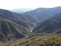 |
Highway 33 snakes up the canyon from the south
|
|
|