|
View of the trail we worked, courtesy of Google Earth, looking from the north-west. Zuma Ridge Motorway is visible in the lower-right corner and Kanan Rd is towards the upper-left. The section of the trail we completed is shown in blue (2.0 miles); the section we need to return to is shown in orange (0.5 miles).
|
|
 |
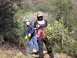
Most of the work we did was clearing the overgrowing brush
|
|
 |
We split into two groups. Four worked mostly on digging drainage dips to channel the water off the trail...
|
|
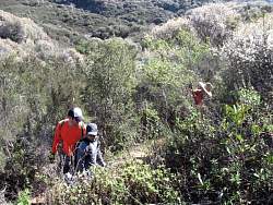 |
...while 15 of us cut back overgrowing brush.
|
|
|
 |
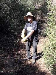
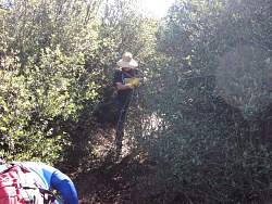
Fir the first time, we took along pole loppers to get the high branches that hang down low over the trail
|
|
|
|
|
|
|
|
|
|
|
|
 |
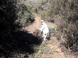
We spent the most time on this part of the trail that was heavily overgrown
|
|
|
|
|
|
|
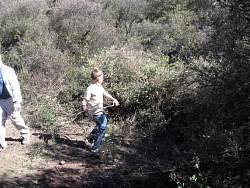 |
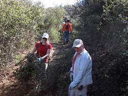
We had two youngsters along whose job was to drag the cut branches and stash them off the trail...
|
|
 |
We ended up with a huge (huge!) pile here because there was so much growth to cut back
|
|
|
|
|
|
|