View of the trail we worked, courtesy of Google Earth, looking from the north-west. Zuma Ridge Motorway is visible in the lower-right corner and Kanan Rd is towards the upper-left. The section of the trail we completed is shown in blue (2.0 miles); the section we need to return to is shown in orange (0.5 miles).
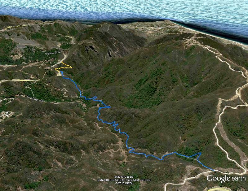
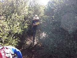
Image 1 of 47