 |
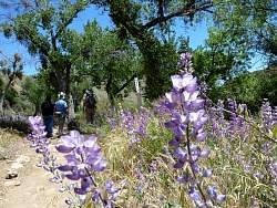
Lupines
|
|
|
|
|
|
|
|
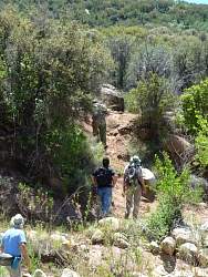 |
We took a little detour and used this steep track to get back to the trail
|
|
 |
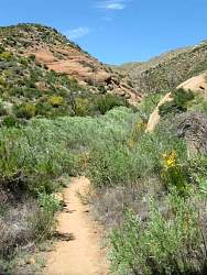
The trail is a little sandy here. This is about where we turned around, a little more than 5 miles from the start.
|
|
 |
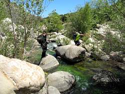
Back at Bear Creek Camp, we had a dip in the swimming hole. The water was cold in some spots and warm in others.
|
|
|
|
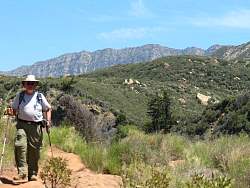 |
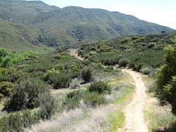
In the distance, to the south-east, we can see the north side of the Topatopa Mountains.
|
|
|
|
|
|
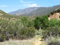 |
A more distant view of the Topatopa Mountains
|
|
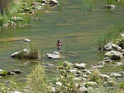 |
Someone is in this swimming hole
|
|
|
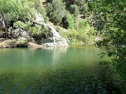 |
A closer view of a swimming hole
|
|
 |
Through the miracle of modern optics, Piedra Blanca looks so close!
|
|
 |
Almost back to the start, Piedra Blanca is quite close here
|
|
|
 |
Foothill penstemon
|
|
|
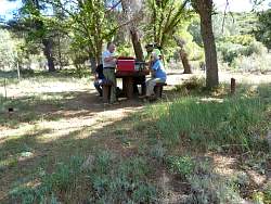 |
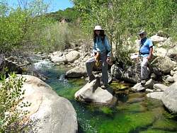
Cooling off after the hike
|
|