 |
View of the area in Google Earth, looking due east. Our hike is shown by the light green line, starting at the lower right. Piedra Blanca is the white area just left of where we started. The nearby trails are shown in various colors.
|
|
 |
Starting off from the parking area at the north-east end of Rose Valley Road.
|
|
|
 |
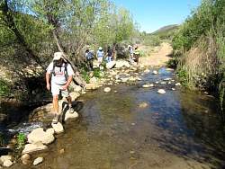
The first of many stream crossings, but we managed to keep our feet dry for the whole hike.
|
|
 |
Maybe the trail used to go through here!
|
|
 |
The trail is now a couple of dozen feet downstream
|
|
 |
Another crossing
|
|
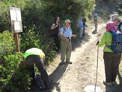 |
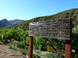
Ahead of us is the Sespe River Trail; behind is the trail that leads to Piedra Blanca and the Middle Sespe Trail
|
|
|
 |
Starting out along the Sespe River Trail
|
|
|
 |
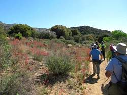
These scarlet buglers were in bloom almost everywhere along the trail
|
|
|
|
|
 |
There was a geocache hidden up in the rocks that we had to find
|
|
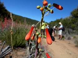 |
Clsoe-up of the scarlet bugler
|
|
|
|
|
|
 |
Searching for a geocache
|
|
 |
Replacing the wet log sheet in this geocache
|
|
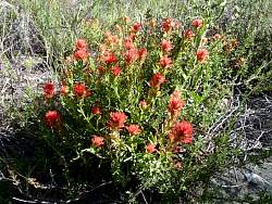 |
This time the red flowers are indian paintbrush
|
|
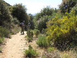 |
The yellow flowers are tree poppies
|
|
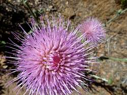 |
Thistle
|
|
 |
Tree poppies
|
|
 |
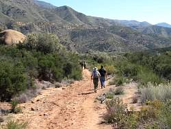
Looking forward, towards the east
|
|
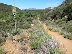 |
Looking back, with Piedra Blanca visible in the far distance (top-right)
|
|
|
|
|
|


