 |
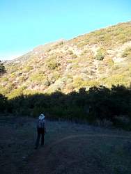
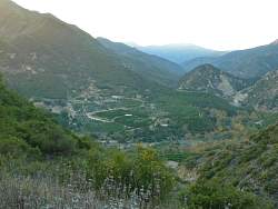
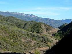
Looking east, we can see TopaTopa in the far distance, and Fuel Break Road much closer below us.
|
|
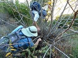 |
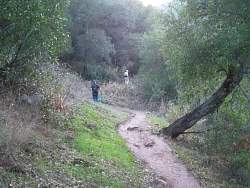
Searching for a geocache that hasn't been found in two years. We concluded that it has gone missing.
|
|
|
|
|
|
 |
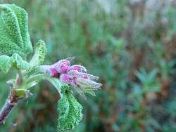
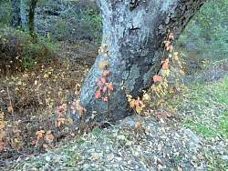
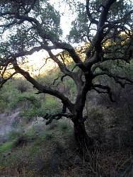
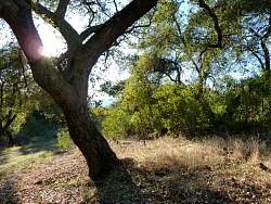
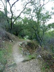
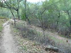
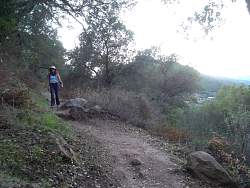
Cozy Dell Canyon has lots of oak trees to provide shade, and is very pretty.
|
|
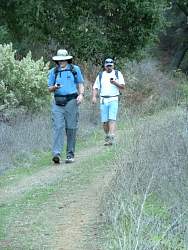 |
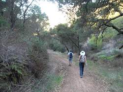
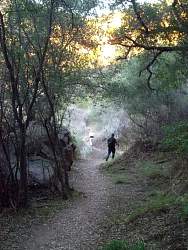
Geocachers keeping an eye on their GPSs!
|
|
|
|
|
|
|
|
|
|
 |
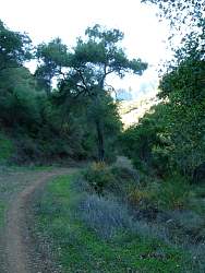
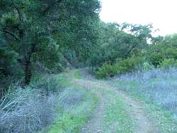
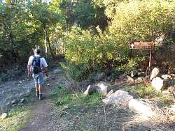
We made a loop so now we're back to the west end of the Foothill Trail. Very soon we'll be back on the Cozy Dell Trail
|
|
 |
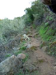
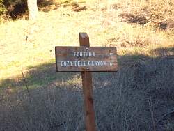
And here's the entrance to the Cozy Dell Trail
|
|
|
|
|
|
|
|
|
|
|
|
|
 |
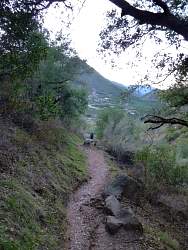
Last picture, almost to the bottom of the Cozy Dell Trail and Highway 33.
|
|