|
The trail marker on Hwy 33, across from the trailhead.
|
|
 |
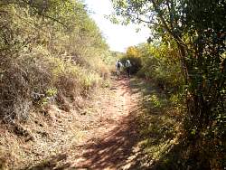
Starting up the Cozy Dell Trail
|
|
 |
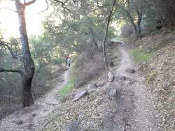
There are lots of switchbacks on this trail!
|
|
 |
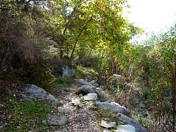
COzy Dell Trail is a little rocky, too
|
|
|
 |
Oak trees provide lots of shade until we get to the top where the trail levels out
|
|
 |
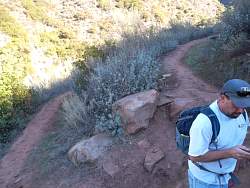
Another switchback
|
|
|
|
|
|
|
 |
The view back down towards Hwy 33 from part way up Cozy Dell Trail
|
|
|
|
 |
A wall has been built here with big rocks
|
|
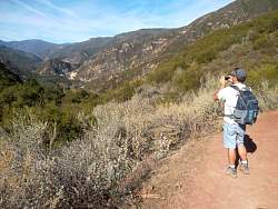 |
Taking a picture from the 'top' where the trail levels out
|
|
 |
The view from the 'top,' looking west.
|
|
|
|
|
|
 |
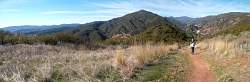
The trail clearly follows an old roadbed up here and isn't nearly as steep as the climb up
|
|
 |
Trees turning color in te valley
|
|
|
|
|
|
|
|
|
|
|
|
 |
We were geocaching along the way, so here we're signing a geocache log sheet.
|
|
 |
Although you can't read the sign in the photo, it tells us we're on the Foothill Trail
|
|