 |
Looking south, we can barely see Lake Casitas through the haze
|
|
|
|
 |
Hwy 33 below us to the south
|
|
 |
We can barely see our car parked at the end of the hike
|
|
|
 |
More of Hwy 33, looking south-east
|
|
|
 |
Another steep climb on the trail, but not nearly as long as the first one!
|
|
|
|
|
|
|
|
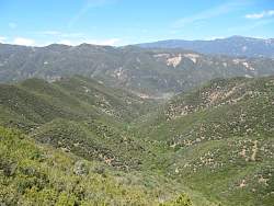 |
Looking north
|
|
 |
Far to the west, another trail, but we won't be going that way
|
|
|
|
|
|
 |
The Ortega Trail that will take us back down to Hwy 33 is down there somewhere
|
|
|
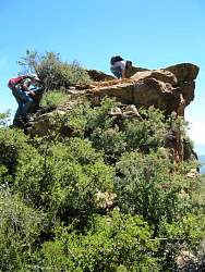 |
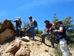
Climbing up "Lunch Rock."
|
|
 |
We had our lunch long before we got to Lunch Rock
|
|
|
 |
This section was very steep and loose, but it looks like the slopes will be more gentle for awhile once we get down this
|
|
 |
Looking back up, you can see how loose and rocky it is
|
|
 |
Our path ahead
|
|
|

