|
Our route as seen from Google Earth, in light blue. The view is from south-east. The orange arrow shows our start point at the north end of Las Virgenes Canyon Rd. We hiked counterclockwise around the loop.
|
|
 |
Bottom of Las Virgenes Canyon
|
|
 |
Nakedness on the trail should really be discouraged!
|
|
 |
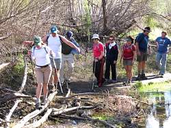
There are a couple of puddles we need to cross.
|
|
|
|
|
|
|
|
|
|
 |
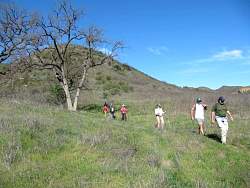
Off of Las Virgenes Canyon fireroad and onto the nearby singletrack. It's in good shape now but will soon be choked with prickly weeds.
|
|
|
|
|
|
|
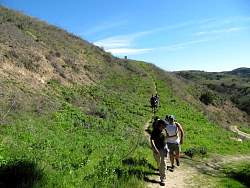 |
Coming onto the Las Virgenes Canyon - Cheeseboro Ridge Connector Trail that will get us up to Cheeseboro Ridge
|
|
|
 |
Cheeseboro Ridge
|
|
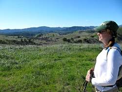 |
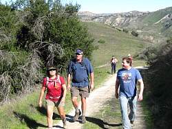
Admiring the view from Cheeseboro Ridge
|
|
 |
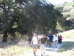
Heading back towards Las Virgenes Canyon
|
|
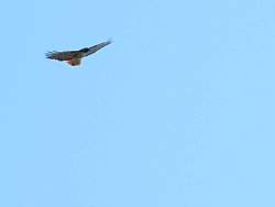 |
We've seen lots of hawks out in the past few weeks. Big fat ones!
|
|