 |
From the start of the Onion Creek Road, I can see the La Sal Mountains in the distance. I'll be there later in the day if everything goes right.
|
|
 |
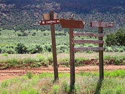
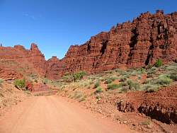
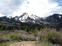
The Onion Creek Road
|
|
 |
The valley through which Onion Creek flows
|
|
 |
Some kind of asters at the side of the road.
|
|
|
 |
I saw lots of these orange flowers in the grasslands.
|
|
|
|
|
|
|
|
 |
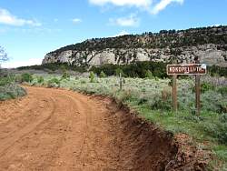
Still on Onion Creek Rd
|
|
|
|
|
|
|
 |
Part of the road I just came up.
|
|
|
 |
Turning south-west towards the La Sal Mountains
|
|
 |
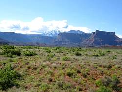
Looking down into Castle Valley
|
|
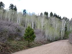 |
Straight trees...
|
|
 |
... Brambly trees!
|
|
 |
Straight and brambly together
|
|
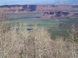 |
Castle Valley in the distance
|
|
 |
Castle Valley in the distance
|
|
 |
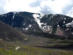
Getting closer to the mountains
|
|
|
 |
Here's a place to live: The La Sal Mtns out one window and Castle Valley out the other (see the house in the center?)
|
|
 |
A better view of Castle Valley
|
|
 |
Zooming in on Castle Valley. I think those are prominent features you can see from the Porcupine Rim Trail.
|
|
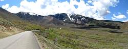 |
On the La Sal Loop Road. I was surprised to find it paved - anyone can drive up here!
|
|
|
|
 |
This road was very very rocky! I would be very hard pressed to recommend it for any vehhicle.
|
|
 |
I could get past the snow patches where a truck had previously left deep tracks
|
|
|
|
 |
The truck didn't plow through the snow ahead, so this is the end of the line for me!
|
|
 |
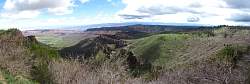
Since I couldn't go any further, this was a good place to have lunch and enjoy the views.
|
|