 |
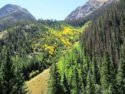
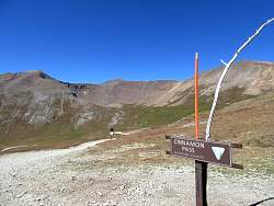
If that's where I'm headed, I think I know why it's called Cinnamon Pass!
|
|
|
|
|
|
|
|
|
|
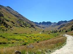 |
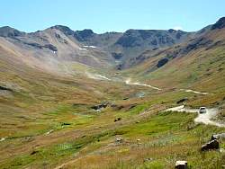
I took a very short side trip into American Basin, a couple of miles before Cinnamon Pass.
|
|
 |
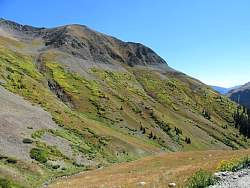
A closer view of American Basiin.
|
|
 |
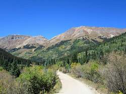
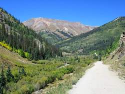
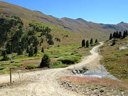
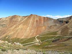
Back on the road to Cinnamon Pass, it's up towards the right side somewhere.
|
|
 |
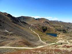
Just short of Cinnamon Pass, looking back down the way I came.
|
|
 |
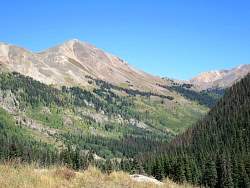
The view is towards the west, the direction I'll be taking.
|
|
|
|
|
|
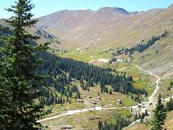 |
Looking down adn north-west at the road through Animas Forks.
|
|
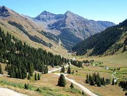 |
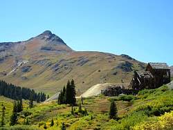
Looking south-east from just above Animas Forks.
|
|
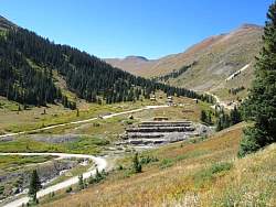 |
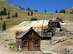
There is lots of mining history (and ruins) at Animas Forks.
|
|
|
|
|
|
 |
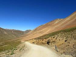
Looking west along California Gulch and the road that goes through California Pass.
|
|
 |
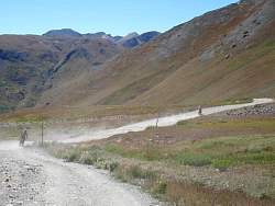
There's lots of traffic in California Gulch today!
|
|
|
|
|
 |
Looking back into California Gulch from California Pass
|
|
 |
The south-east side of California Pass, where I came from.
|
|
 |
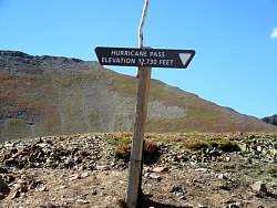
The north-west side of California Pass, where I'm going. The road straight ahead leads to Hurricane Pass, and it's not far.
|
|
|
|