|
On the way out of Canyonlands, towards Moab, these buttes are visible in the direction of Arches National Park.
|
|
 |
The next morning, at 8:30 AM, I start down Shafer Trail on my motorbike to explore the White Rim and Potash Road.
|
|
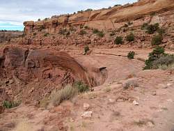 |
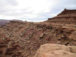
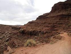
From this vantage point, you can see that the road is undercut. I guess if it has held up mining trucks, it will hold up my motorbike. At least, I hope it will!
|
|
 |
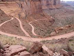
My first look at the switchbacks heading down to White Rim
|
|
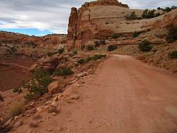 |
The road is certainly wide, firm and pretty smooth. No guardrails, though.
|
|
|
|
|
 |
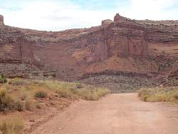
At the bottom and well away from the switchbacks!
|
|
 |
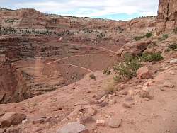
Looking back, I can barely discern the road going up the canyon (the one on the left).
|
|
 |
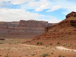
The next set of photos is from the White Rim Trail, 1000' below Island in the Sky. Many of them look back at Island in the Sky, but not this one.
|
|
|
 |
Even though I'm 1000' below Island in the Sky, it's another 800' down to the level of the Colorado River
|
|
 |
Hmm, this road is undercut, too!
|
|
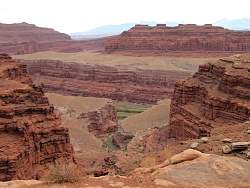 |
You can see a tiny bit of the Colorado River down there
|
|
 |
This is right at the edge of the road - several hundred feet straight down!
|
|
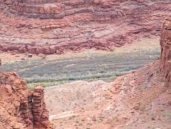 |
Again, you can't quite see the river down there
|
|
|
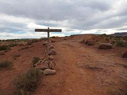 |
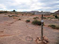
The sign says "Colorado River Overlook"
|
|
 |
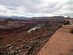
I park my bike and take a few pictures of the surroundings before I make the short hike to the river overlook
|
|
|
|
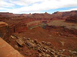 |
At the overlook, the Colorado River Gooseneck is in view
|
|
 |
Looking south
|
|
 |
I thought those might be ducks in the river, but when I zoomed in I can see they're sandbars and rocks.
|
|
|
|
 |
In this photo and the next several ones, it's hard to see the arch against the background of rocks.
|
|
|