|
|
|
|
|
|
 |
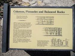
Enlargement of the sign from the previous photo
|
|
|
|
|
 |
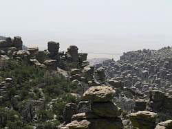
Chiricahua is a "sky island." It gets that name because it's a tall mountain in the middle of a predominantly flat desert, barely visible in the background on this windy, dusty day. Some plants and animals can live at the higher, cooler elevations than can live in the desert below, so this is an island of wildlife in the middle of the desert. There are other sky islands, but plants and especially animals have a hard time moving between them because of the expanse of desert that separates them.
|
|
|
|
|
 |
Enlargement of the sign from the previous photo
|
|
 |
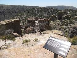
There's a structure at the top of the mountain
|
|
|
|
|
|
|
|
 |
We can't see the Turkey Creek Volcano today because of the haze.
|
|
|
|
|
|
 |
One day I'll start carrying a tripod with me so the panorama shots come out even
|
|


