 |
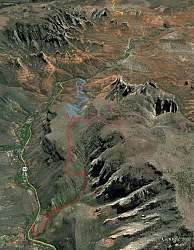
| View of our route (red), courtesy of Google Earth, looking south. We started at the lower-left. The light-blue is the route we had planned to take down, but we couldn't because the trailhead was closed due to construction. |
 |
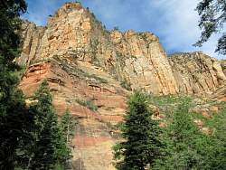
| From the parking area, we can see Wilson Mtn south and above us. |
 |
| Map at the trailhead kiosk |
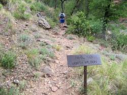 |
| Starting up the trail |
 |
 |
 |
 |
 |
 |
 |
 |
 |
 |
 |
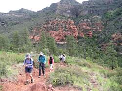
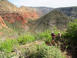
| The north trail has a lot more trees than the southern route |
 |
 |
 |
 |
 |
 |
 |
 |
 |
| From the "First Bench" we can see the snow-topped San Francisco Mountains, just north of Flagstaff, behind us. |
 |
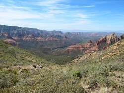 |
| The view from the overlook where the southern route meets the North Trail |
 |
| Starting up to the top from the First Bench |