 |
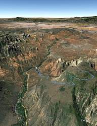
Google Earth view of our route, looking south-west over Sedona.
|
|
 |
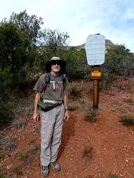
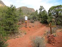
At the trailhead
|
|
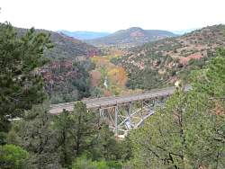 |
As we start to climb, we get the first view of the bridge where we parked
|
|
 |
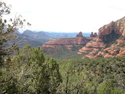
Looking ahead and up, there are lots of rock formations
|
|
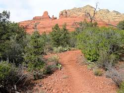 |
The trail was pretty smooth here
|
|
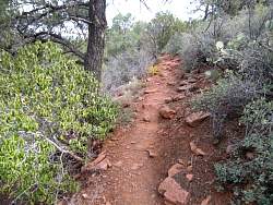 |
As we climbed, the trail got pretty rocky - more rocky than it is here
|
|
 |
I can sense the electrifying field of a Vortex as I stand under a zipline that crosses the trail.
|
|
 |
That trail is on the other side of the canyon
|
|
 |
A junction, the first of three
|
|
|
|
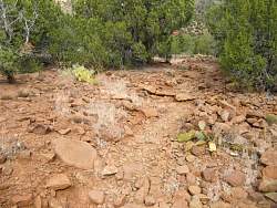 |
The trail is getting rockier!
|
|
|
|
|
|
 |
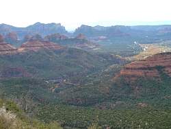
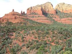
Looking back, we can see the formations that separate us from Schnebly Hill Road
|
|
|
|
|
 |
Another view of the bridge where we parked
|
|
|
|
|
|
 |
We ended up at the top of the cliff at the left, although this was the steepest face we climbed. See the hiker on the trail?
|
|
|
|
|
|
 |
This was about as rocky as it got
|
|
|