|
Today's ride was north-west of Sedona, a little closer to Cottonwood than Sedona. This is a Google Earth visualization, looking north.
|
|
 |
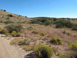
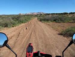
I started off on Bill Gray Road
|
|
|
|
|
|
|
|
|
 |
I was there during the shutdown of the federal government, and so this archeological site was closed
|
|
 |
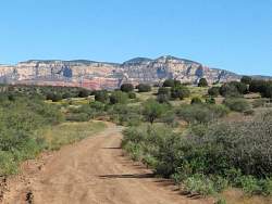
Cockscomb formation in the distance
|
|
|
|
|
 |
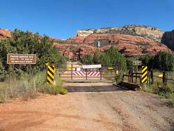
The end of Lincoln Canyon Road
|
|
 |
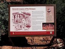
This archeological site was open because it wasn't run by the Forest Service rangers
|
|
 |
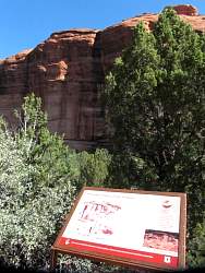
I parked my bike and walked to the Honanki Ruins
|
|
|
|
|
 |
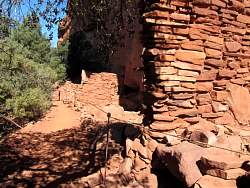
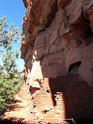
Some of the ruins of an ancient settlement
|
|
|
|
|
|
|
|
|
 |
Just an interesting bug
|
|
 |
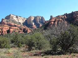
The road here gets you pretty close to the red rock formations
|
|