Photos of VenturaCountyTrails. Click on an image to see it full size.
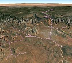 |
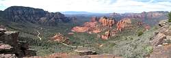
Route of my ride (pink line) as visualized in Google Earth, starting near Cottonwood (off the bottom), looking north-east. The Schnebly Hill road is at the top, Submarine Rock is center-right, and Dry Canyon/Boynton Canyon are to the left.
|
|
 |
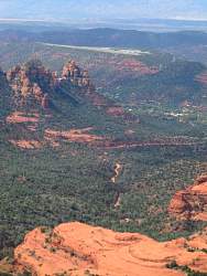
A closer look at Schnebly Hill (left) and the trail to Submarine Rock (lower right).
|
|
 |
On the way up Schnebly Hill
|
|
 |
A closer look
|
|
 |
On the plateau at the top of Schnebly Hill
|
|
 |
Lots of yellow wildflowers here!
|
|
 |
The road here is kinda rocky
|
|
 |
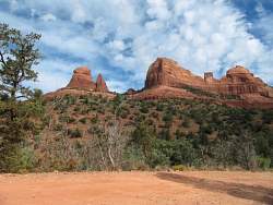
Looking down from the top of Schnebly Hill, with Sedona in the distance
|
|
 |
A panoramic view from the top of Schnebly Hill.
|
|
 |
A close-up view of some airy pink plant that was growing here
|
|
 |
The Sedona airport in the distance from the top of Schnebly Hill
|
|
 |
More views from the top of Schnebly Hill
|
|
 |
Continuing on the road from the top of Schnebly Hill towards I-17
|
|
 |
The dam seems to be breached in the middle
|
|
 |
Lots of rocks just lying around here
|
|
|
|
 |
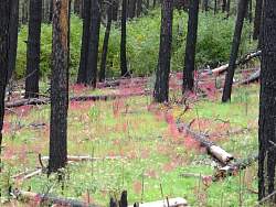
A fire came through here a few years ago
|
|
 |
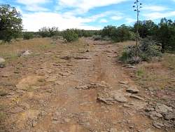
The road is pretty good here
|
|
 |
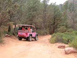
This road looks like it gets a lot of use
|
|
|
|
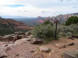 |
On the way down I stopped at the Schnebly Hill Vista
|
|
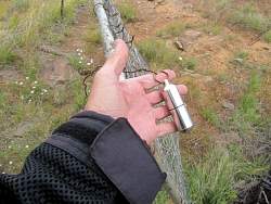 |
This geocache I found is a giant bison tube, the biggest I've ever seen!
|
|
 |
Schnebly Hill Road is pretty rocky!
|
|
|
|
|
 |
You see lots of these around!
|
|
|
|
 |
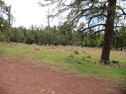
This is in the Dry Creek area, north-west of Sedona
|
|
|
|
|
|
|