 |
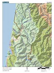
Topo map of Redwood National Park and Prairie Creek Redwoods State Park. The roads to the hikes are shown in heavy grey (paved) and brown (dirt) lines. Trails are thin blue lines. The trail to the Tall Trees Grove is at the bottom; Fern Canyon is at the upper-left.
|
|
 |
Topo map of the Tall Trees Trail and the road to it. The loop at the left is through the Tall Trees Grove.
|
|
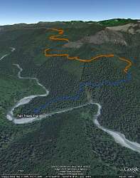 |
Google Earth view of the Tall Trees Trail, looking north-east. The stream is Redwood Creek.
|
|
 |
This is the 'Big Tree' in Prairie Creek Redwoods State Park, ajoining the National Park to the north-east.
|
|
 |
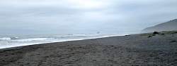
At the beach next to the Visitor Center for the National Park
|
|
|
|
|
|
 |
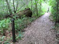
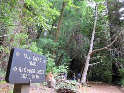
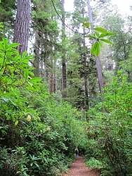
Starting down the Tall Trees Trail
|
|
 |
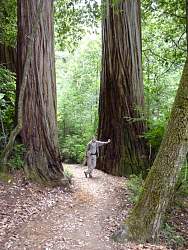
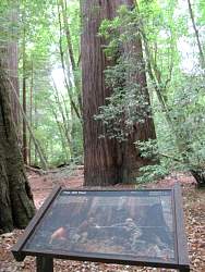
It's hard to tell how tall these trees are because we can almost never see the tops
|
|
 |
Many trees were damaged by fire like this one, and worse
|
|
 |
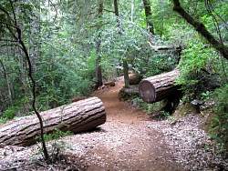
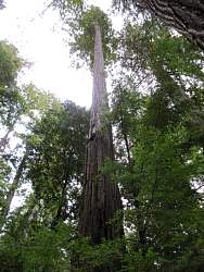
Not many had broken off
|
|
|
|
|
|
|
|
|
|
 |
We think these bushes at the side of the trail are rhododendrons. This would be spectacular when they're in bloom!
|
|
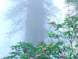 |
I found this picture on the internet of rhododendrons in bloom in the park
|
|
|
|
|
|
|