|
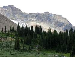
...with a meadow in the foreground
|
|
|
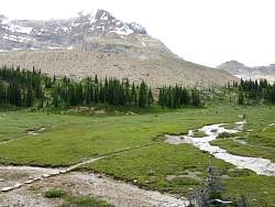 |
This meadow marks the top of the Celeste Lake Trail. Soon it will join the Iceline Trail that runs along the moraine above this meadow
|
|
 |
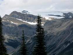
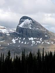
Seriously twisted mountains!
|
|
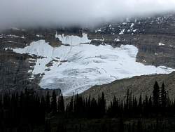 |
Part of Emerald Glacier
|
|
 |
Hikers start off across the meadow, taking a shortcut to the Iceline Trail
|
|
 |
Looking west from the Iceline Trail, across the meadow, with Mt Niles in the distance.
|
|
 |
Mt Daly in the distance
|
|
 |
A closer look at Mt Niles
|
|
 |
Looking north, left to right: Mt Des Poilus, Glacier Des Poilus and Yoho Peak
|
|
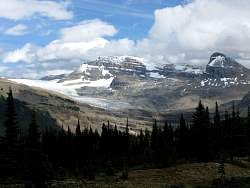 |
Mt Daly and Mt Niles together
|
|
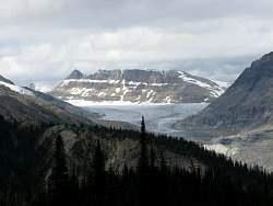 |
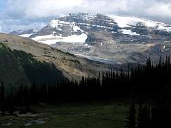
Yoho Glacier and the Wapta Icefield
|
|
|
|
 |
Hikers on the Iceline Trail
|
|
 |
Looking north on the Iceline Trail at Mt Des Poilus
|
|
 |
Looking south on the Iceline Trail
|
|
 |
Waputik Icefield, Mt Daly and Mt Niles
|
|
 |
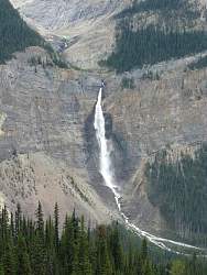
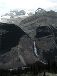
Our first view of Takakkaw Falls from the Iceline Trail!
|
|
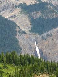 |
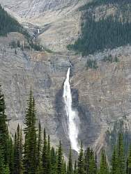
A closer look at the falls. We'll see it a lot more for the rest of the hike.
|
|
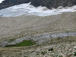 |
Hikers on the Iceline Trail in front of Emerald Glacier
|
|
|
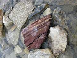 |
A pretty rock in the stream
|
|
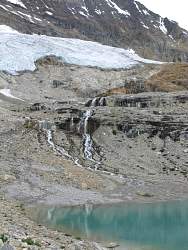 |
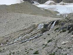
Meltwater from Emerald Glacier
|
|
 |
The first step is a doozie! (And so are the ones after it)
|
|
 |
Takakkaw Falls with Mt Daly and Mt Niles above
|
|
 |
As we hiked along the Iceline Trail, the views of Takakkaw Falls kept changing
|
|
|
 |
Here we've gone far enough south that you can see Daly Glacier above Takakkaw Falls
|
|
|
 |
Looking Daly Glacier staight on above Takakkaw Falls
|
|