Photos of VenturaCountyTrails. Click on an image to see it full size.
 |
Google Earth view of Mt Edith Cavell and the "Path of the Glaciers" hike, shown by the brown line.
|
|
 |
The first glimpse of water draining from a melting glacier
|
|
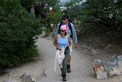 |
Julia and Stuart start up the trail to the "Path of the Glacier"
|
|
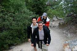 |
Dave, Greg and Seng are close behind
|
|
 |
As we come around a corner we start to see Angel Glacier
|
|
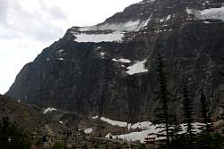 |
The trail ahead
|
|
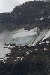 |
Up above is Ghost Glacier, a hanging glacier that seems to be hanging by a thread
|
|
 |
The sun breaks free of the clouds and shines on Angel Glacier
|
|
 |
Meltwater from Angel Glacier
|
|
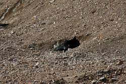 |
Below the tongue of Angel Glacier, in Cavell Glacier, is an ice cave (the glacier is covered with rocks and gravel)
|
|
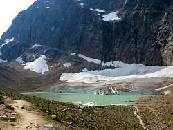 |
Cavell Pond with Cavell Glacier behind it
|
|
 |
Hikers at the edge of Cavell Pond
|
|
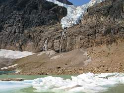 |
From here we get a better view of the 'body' of Angel Glacier
|
|
 |
Meltwater from Angel Glacier ends up in Cavell Pond
|
|
 |
A closer look at the ice cave
|
|
 |
Angel Glacier from below
|
|
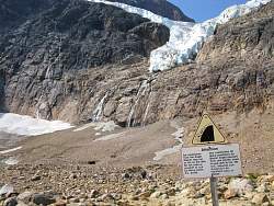 |
This sign is widely ignored because people want to see the ice cave
|
|
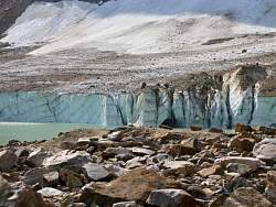 |
Cavell Pond meets Cavell Glacier
|
|
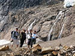 |
Approaching the ice cave
|
|
 |
The ice cave has a curtain of water dripping down the edge. Every few minutes a rock falls down as well.
|
|
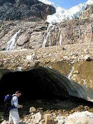 |
Cave/glacier, falls and glacier
|
|
