 |
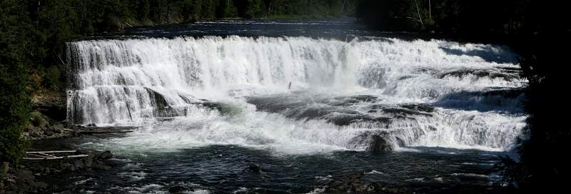
| Dawson Falls |
 |
| View of Helmcken Falls from Google Earth. The falls are just above the path along the edge of the canyon, shown by the brown line. Upstream, at the top left, is Dawson Falls. Clearwater River is at the bottom. |
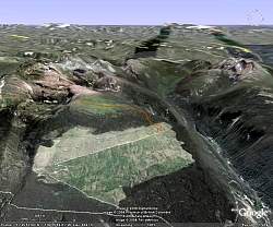 |
| View of the Trophy Mountain Trail from Google Earth. Trophy Mtn in on the left with Raft Mtn on the right side. The trail is shown by the brown line. |