Photos are from Karl, Sig, Don, Peggy and Steve. Click on an image to see it full size.
 |
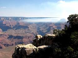
There are brush fires burning on the North Rim
|
|
 |
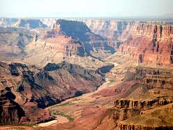
View of the Horseshoe Mesa from GrandviewPoint
|
|
 |
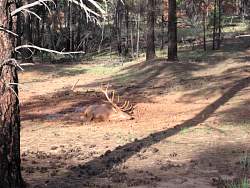
Elk in the mud just off the main road.
|
|
 |
Getting a spot he missed?
|
|
 |
He seems to be evenly coated now.
|
|
 |
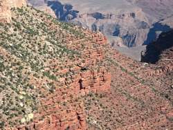
The Bright Angel Trail, Indian Garden and Plateau Point
|
|
 |
A closer view of Indian Garden and Plateau Point. From Indian Garden, the Bright Angel Trail forks to the right and is barely visible.
|
|
 |
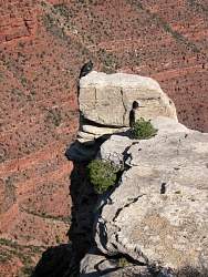
A California Condor sits on a rock. In the morning, smoke from the fires on the North Rim fills the eastern part of the canyon.
|
|
 |
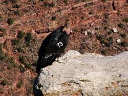
A closer view
|
|
 |
A really close view.
|
|
 |
He takes to the air
|
|
|
|
|
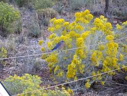 |
Bright colors.
|
|
 |
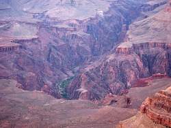
As the sun is setting, you can see the Plateau Point trail and a tiny bit of the Colorado River.
|
|
 |
In this closer view, you can see the Bright Angel Trail leading to the river.
|
|
 |
That's Phantom Ranch (in the trees) with the Kaibab Trail leading to the North Rim behind it.
|
|
 |
Approaching sunset, looking westward from Mather Point.
|
|