 |
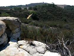
View from the Water Tower Trail
|
|
 |
View of the meadow and the ocean beyond from the south end of the Old Ranch Foundation Trail
|
|
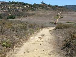 |
Looking north towards the Old Ranch Foundation on the Meadow Ranch Trail
|
|
 |
Southwest from the West Loop Trail
|
|
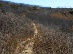 |
South end of the West Loop Trail
|
|
 |
North end of the West Loop Trail
|
|
 |
Convergence of the West Meadow Trail with the Meadow Ranch Trail
|
|
 |
Reservoir Trail
|
|
 |
Looking down on the Reservoir Trail and the Overlook Loop from the Old Reservoir. The south end of the Fire Ecology Trail comes in from the left
|
|
 |
Approaching the steepest and rockiest section of the Reservoir Trail
|
|
 |
On the way to the overlook
|
|
 |
Coming back from the overlook
|
|
 |
North-east end of the Overlook Loop
|
|
 |
Riding west (and up) the North Meadow Trail
|
|
 |
View from the Botany Cutoff Trail
|
|
 |
The top of the Botany Cutoff Trail
|
|
 |
View or Zuma Beach from the Charmlee Natural Area in Malibu
|
|
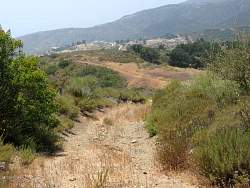 |
This section of Potrero Road, just south of the Meadow Ranch Trail, is steep, rocky and a little loose
|
|
 |
Riding up the Long Hill Trail just after the mustard has peaked
|
|
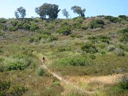 |
Meadow Woodland Trail
|
|
 |
The south end of the Botany Cutoff Trail is quite a challenge to ride! Fortunately this section is only a couple of dozen yards long before it becomes smoother and more level
|
|

