 |
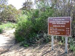
The gateway to the Boney summit loop on Danielson Road
|
|
 |
Heading down Danielson Road towards the creek
|
|
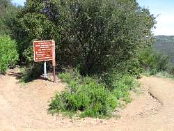 |
The start of Old Boney Trail and the route to the Western Ridge Trail
|
|
 |
The beginning of the Western Ridge Trail which goes straight up the ridgeline, not down the more prominant trail next to it. This is a half mile from the start of Old Boney Trail at Danielson Road.
|
|
 |
The start of the Western Ridge Trail is narrow with high chaparral, but well travelled (and a little steep)
|
|
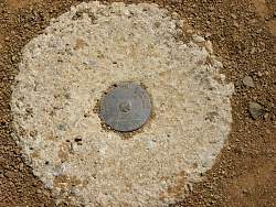 |
The first little hill has a surveyor's marker
|
|
 |
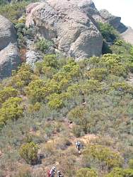
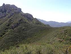
From this little hill, we can see people on Boney Summit ("Peak 2701") far above us
|
|
 |
The trail goes down the far side of the little hill and heads left to follow the ridgeline and then through the cliffs and boulders above
|
|
 |
The trail is narrow and the chaparral brushes you on both sides
|
|
|
|
 |
Looking back at the little hill with the surveyor's marker
|
|
 |
The first climb up the rocks approaches
|
|
 |
It's easier to climb this section that the cliff straight ahead
|
|
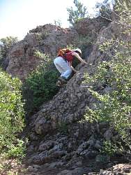 |
It's easy to climb and not very long. There will be several more like this before we get to the summit
|
|
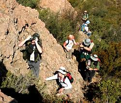 |
A view from the top of the little cliff
|
|
|
|
 |
The trail goes through those massive stone blocks
|
|
 |
Before the stone blocks, we have to get down there
|
|
|
|
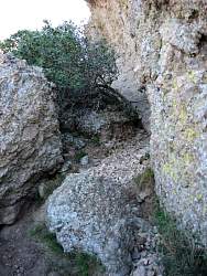 |
The trail is next to the rock wall, with brush on the left
|
|
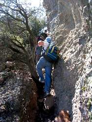 |
This part of the trail is loose, very narrow and steep, but we don't see any poison oak
|
|
 |
When the view opens up, we can see Old Boney Trail below, heading south
|
|
 |
The California lilac is very colorful this time of year, especially against the orange rocks
|
|
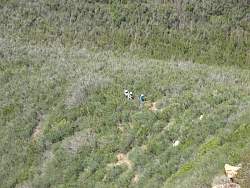 |
A group of hikers behind us
|
|


