|
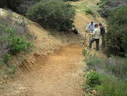
In the upper- left, the original trail. Everywhere else, the bulldozed fire break.
|
|
 |
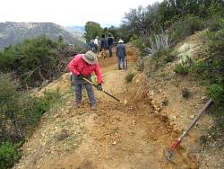
It's hard to see, but dead branches have been piled up, just beyond the workers, to block off the bulldozed fire break and direct people down the proper trail, around the corner to the left.
|
|
 |
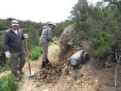
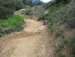
Smoothing out the tread across the fire break.
|
|
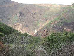 |
Across the way, heavy rain has eroded channels in the steep hillside.
|
|
 |
Rebuilding a switchback that was bulldozed out of existence.
|
|
 |
The trail is being rebuilt on the left (upslope) side of the bulldoxer cut, and the berm on the right side is cut down.
|
|
 |
Progress on the switchback
|
|
 |
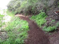
Removing slough that has fallen down to restore the trail to its original width.
|
|
|
|
|
|
|
 |
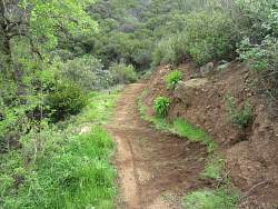
This section used to be narrow, loose, rutted and steep. Then the bulldozer made it wide, loose, uneven, rutted and steep. Now it is wide and smooth with a drain in the middle to help prevent future ruts.
|
|
 |
A new drainage to divert water from the trail.
|
|
|
 |
This section used to have a couple dozen big rocks sticking up to make the trail very uneven.
|
|
|
 |
After removing loose rocks and overgrowth.
|
|
|
|
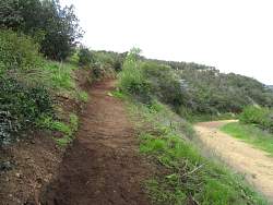 |
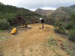
The trail (center-left) connects Etz Meloy Motorway (right) to Yerba Buena Rd.
|
|
|
 |
Spotted nearby, a patch of bright yellow flowers where the Backbone Trail crosses Mulholland Hwy.
|
|
|
|