|
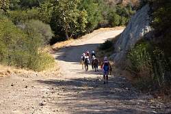
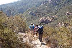
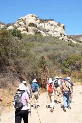
Starting up Calabasas Peak Motorway from Stunt Road
|
|
 |
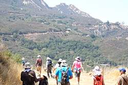
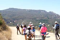
Calabasas Peak Mtwy continues up far beyond what we can see here, but we'll turn down to Red Rock Canyon before then.
|
|
 |
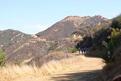
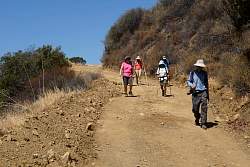
Starting down into Red Rock Canyon
|
|
|
|
|
 |
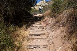
Starting up the Red Rock Trail, aka the Eagle Scout Trail
|
|
|
|
 |
The fallen limbs of a dying oak tree are cut up beside the trail
|
|
|
 |
It doesn't look like there's been any maintenance work on this trail for years :-(
|
|
|
 |
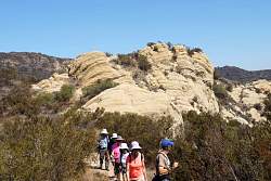
Red Rock Road in the distance where it meets Calabasas Peak Mtwy
|
|
|
|
|
|
 |
This is our turn-around point, looking west.
|
|
 |
Our turn-around point, looking east.
|
|
|
|
|
|
|
|
|
|
|
|
|
 |
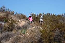
It's not nearly as steep as it looks here!
|
|
|
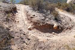 |
The trail is pretty-well entrenched, and that's not a good thing!
|
|
|
|
 |
Back on Red Rock Road, headed for Calabasas Peak Mtwy.
|
|
|
 |
On Calabasas Peak Mtwy, headed down, with Stunt Road in the distance. From this angle, it looks like Stunt Road is a continuation of our road.
|
|
|
|
|
 |
Almost back to the cars
|
|
 |
The last few arrive at the bottom.
|
|
|
|