 |
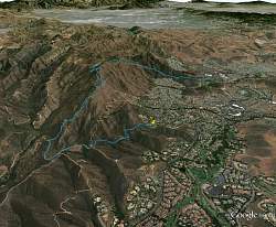
View of our route, looking east, courtesy of Google Earth. The yellow pin indicates where we started at the Hidden Meadow Trail trailhead.
|
|
 |
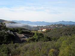
It was foggy when we started - just a couple of minutes up the trail and the fog is burning off.
|
|
|
 |
Someone had carried a bench up to this lookout.
|
|
 |
The fog hasn't burned off yet
|
|
 |
Graffiti on an Edison pole
|
|
 |
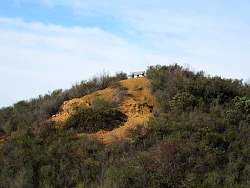
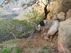
Approaching Mini-Tripeaks.
|
|
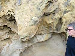 |
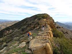
Mini-Tripeaks has some interesting rock formations
|
|
 |
The trail foward. We can barely pick out the Lonesome Oak against the distant ridgeline.
|
|
 |
Looking down on Albertson Motorway
|
|
|
 |
There's a crow's nest in the rocks here
|
|
|
|
 |
This part of the trail up to Lonesome Oak is steep!
|
|
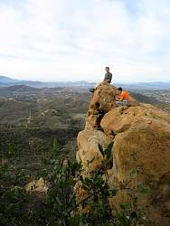 |
On the rock at Lonesome Oak
|
|
|
|
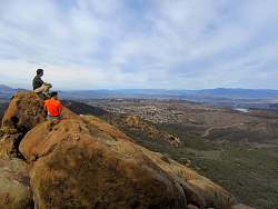 |
The view is equally good in the other direction!
|
|
 |
This part of the trail is steep, too...
|
|
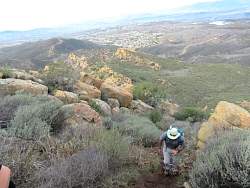 |
...the first climb after Lonesome Oak
|
|
|
|
 |
There's still some fog lingering in the valleys
|
|
|
|
 |
The gate, and in the distance, Simi Peak (but it's not the closest one).
|
|
|
|
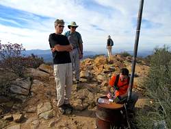 |
The peak log at Simi Peak
|
|
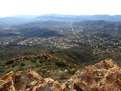 |
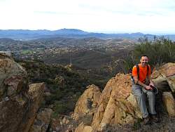
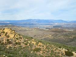
From Simi Peak, the main road below is Lindero Canyon Road.
|
|
 |
Mt Baldy is qute easily seen in the distance to the east...
|
|