 |
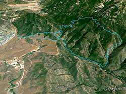
View of our route, courtesy of Google Earth, looking north-east. We started at the far left and the Fossil Trail goes up the canyon on the right side.
|
|
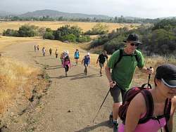 |
The first steep hill, although not very long, in Rancho Siera Vista/Satwiwa
|
|
 |
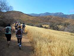
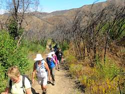
On the way to the windmill
|
|
 |
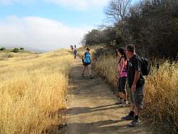
Boney Mtn is visible in the distance. We'll get a lot closer.
|
|
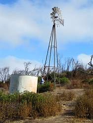 |
The windmill
|
|
|
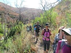 |
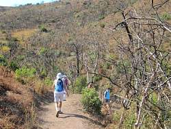
The Upper Sycamore Trail is a little overgrown here. We can see lot of burned trees from the Springs Fire two years ago, but the vegetation has come back really quickly here!
|
|
|
 |
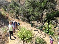
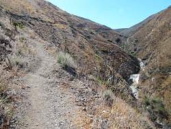
This is where the Upper Sycamore Trail was washed out during the flood of December 2014.
|
|
|
|
|
|
 |
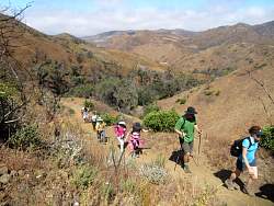
We're starting to climb the Fossil Trail. It's not steep... yet!
|
|
 |
Okay, it's getting steeper
|
|
 |
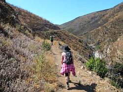
Nice views into Sycamore Canyon to the west
|
|
 |
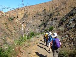
The Springs Fire really destroyed everything here
|
|
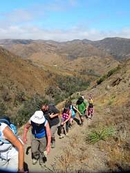 |
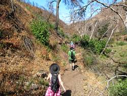
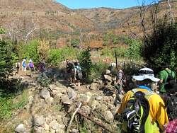
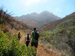
You can tell how steep it is by how much people are leaning forward!
|
|
|
|
|
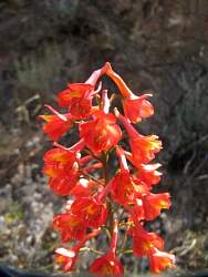 |
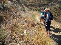
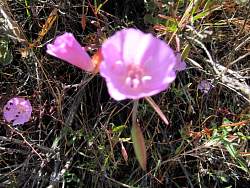
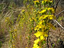
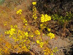
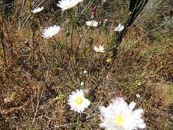
We saw an amazing number and diversity of wildflowers, I thought, for the end of May
|
|
|
|
|
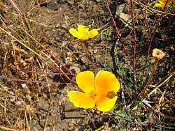 |
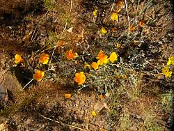
California poppies
|
|
 |
These look like California poppies, but they were only about as big as a diime
|
|
 |
Boney Mountain looms over us
|
|
|
|