|
View of our route, courtesy of Google Earth, looking north-west. We started in Hill Canyon, at the upper-right. We hiked both loops in the clockwise direction.
|
|
 |
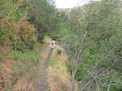
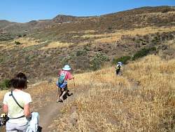
Hill Canyon Trail
|
|
 |
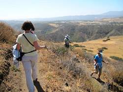
Looking north-east from the Hill Canyon Trail
|
|
 |
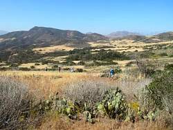
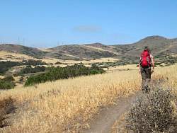
Starting on the Hawk Canyon Trail
|
|
|
|
 |
Poison oak is sprouting from the middle of the trail :-(
|
|
 |
What's THIS doing here?
|
|
 |
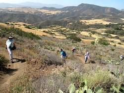
Climbing the Peninsula Trail to the Western Plateau.
|
|
 |
The start of the Hawk Canyon Rim Trail
|
|
 |
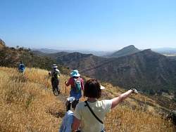
The newly named Elliott Peak is in the distance, and our route will take us most of the way to its top.
|
|
|
 |
Taking a break at the Hawk Canyon overlook
|
|
|
 |
On the Western Plateau Trail, heading for Elliott Peak
|
|
 |
The rest of these photos were taken on the Outlaw Trail on the southern flank of Elliott Peak
|
|
|
|
|
|
|
|
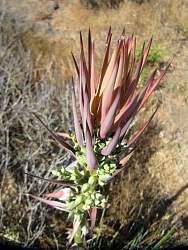 |
This is the top of a yucca plant where the flower will form.
|
|
|
|
|
|
|
|
|
|
|
|