 |
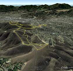
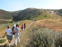
View of our hike, looking south-west. Hillcrest Ridge is the trail on the left, along the top of the ridge. To its right and below is the White Sage Trail. Glider Hill is further to the right, in the distance.
|
|
 |
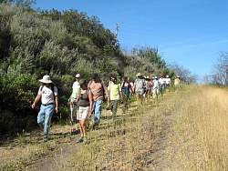
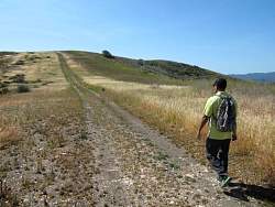
Heading up an access trail to meet White Sage
|
|
|
 |
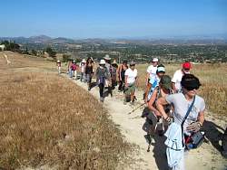
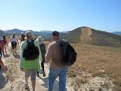
There's more climbing to get to Hillcrest Ridge from White Sage
|
|
 |
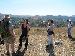
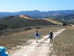
The view from Hillcrest Ridge Trail is pretty impressive!
|
|
 |
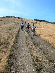
The Hillcrest Rige Trail, as its name implies, is a ridgeline trail, and is pretty steep in places.
|
|
 |
Back onto White Sage Trail, and we can see Hillcrest Ridge to the right.
|
|
|
 |
Stopping to look at some purple sage in bloom on the White Sage Trail.
|
|
|
|
|
 |
Looking back at the White Sage Trail, and Hillcrest Ridge in the top-left corner.
|
|
|
|
 |
On the Hillcrest Ridge Trail, we have a good look at the hill we'll soon be climbing. This was the longest and steepest hill on a very hilly hike!
|
|
 |
Once we're on the hill, it looks like a long way to the top!
|
|
 |
Looking back from the hill, the White Sage Trail is below us.
|
|
 |
Still more hill to climb!
|
|
 |
Once on the top, there are great views in all directions!
|
|
 |
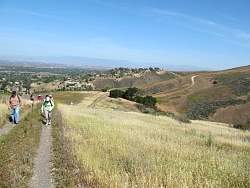
Continuing south on the Hillcrest Ridge Trail
|
|
|
|
 |
We have another hill to climb, but this one isn't as long or nearly as steep as the last one.
|
|
 |
Looking back, that's the hill we just came down
|
|
|