|
The entrance to Burro-Schmidt Tunnel. Once you get in a few feet, it's over 6' high and practically dead level. It's very easy to walk to the end, but you'll need a flashlight!
|
|
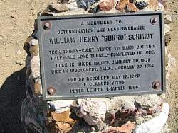 |
This plaque omits one important fact, that Schmidt had no sense of direction. His tunnel came out in the middle of a very steep slope, nearly a cliff, far from the bottom!
|
|
 |
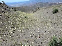
On the hill above the Burro Schmidt Tunnel
|
|
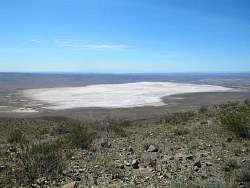 |
A mostly dry lake bed between the hill over the Burro Schmidt Tunnel and Edwards AFB to the south.
|
|
|
|
|
|
|
|
|
|
|
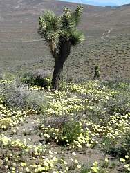 |
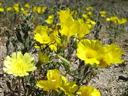
Yellow flowers and a joshua tree
|
|
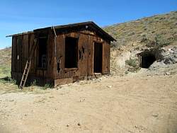 |
This old building is next to a new-looking tunnel
|
|
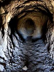 |
A look in te tunnel. It's about 4' high
|
|
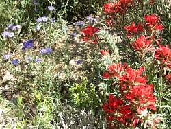 |
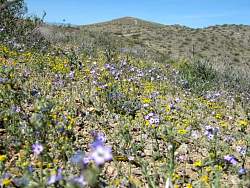
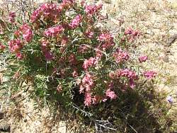
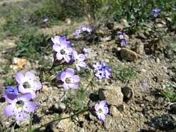
Indian paintbrush and phacelia
|
|
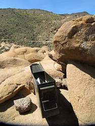 |
A geocache hidden in the rocks in the desert
|
|
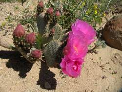 |
This was the first blooming cactus of only a very few I saw
|
|
|
 |
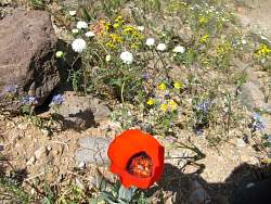
This was the only place that had any California poppies.
|
|
|
 |
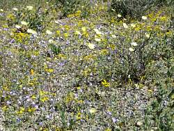
More phacelia, growing in dense clusters
|
|
|
|
 |
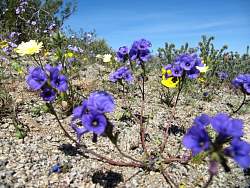
A lonesome phacelia
|
|
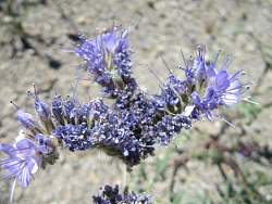 |
Phacelia close-up
|
|
|
|
 |
Evidence of old industry of some sort
|
|
 |
This cliff was bright white. It looked like the same stuff that came out of the Old Dutch Cleanser Mine nearby
|
|
 |
From here back in Jawbone Canyon, it looks like the lake isn't completely dry.
|
|
 |
A final view of the LA Aqueduct
|
|
|