|
View of our route, looking west-southwest, courtesy of Google earth. We started at the lower left, circled the large loop counterclockwise, and the small loop at the middle right clockwise.
|
|
 |
Google Earth view of our route, lookine south-east. We started at the most distant point, about the middle of the image.
|
|
 |
Howard gives us a little talk about some of the reptiles and amphibians we could expect to see along the way
|
|
 |
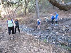
At the bottom of the canyon, we learn a little more about creepy crawly things.
|
|
 |
It's dark on the Hawk Canyon Trail!
|
|
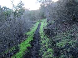 |
It's been years since we've seen green like this lining the trail!
|
|
|
|
 |
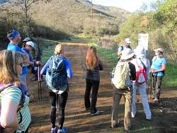
Howard has brought his iPad to show us some common lizards and snakes
|
|
|
|
|
 |
We saw this very large red-tail hawk just after we left the Hawk Canyon Trail
|
|
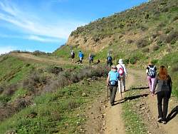 |
Climbing the Western Plateau Trail, an old Edison Road, up to the Western Plateau
|
|
 |
On the Outlaw Trail loop, the plateau is very green behind us
|
|
|
|
 |
We found a shooting star flower
|
|
 |
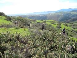
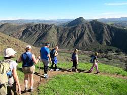
From the top of the Outlaw Trail, you can see into the Santa Rosa Valley
|
|
|
|
|
 |
The trail goes along the edge of Hill Canyon for a short distance
|
|
|