|
View of the new Castillo Trail (yellow), looking north-west, courtesy of Google Earth. Existing Wildwood trails are shown in purple.
|
|
 |
Volunteers gather at the registration area, waiting to hike down to the work area.
|
|
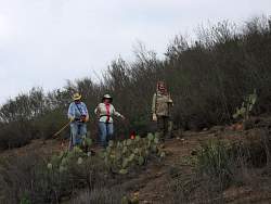 |
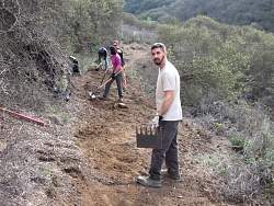
Orange flags indicate the route of the new trail
|
|
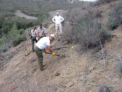 |
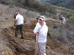
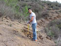
The first order of business is to chop out the chaparral stumps
|
|
 |
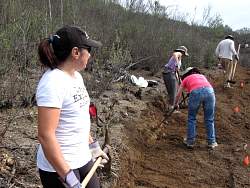
The COSCA rangers had cut down the brush a week earlier so the job of the volunteers was to dig out the dirt to make a level trail tread
|
|
 |
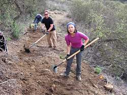
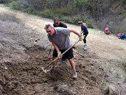
This is the location of the 'lower' switchback before much work had been done. It took a lot of workers to dig this out properly!
|
|
 |
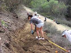
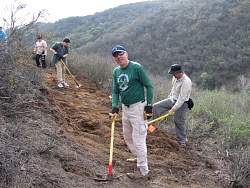
A view of the lower switchback from the opposite direction
|
|
|
 |
COSCA staff take photos of the progress
|
|
|
|
|
|
|
|
|
|
|
|
|
|
|
|
|
|
|
|
|
|
|
|
 |
This is where the new trail connects to the existing Wildwood Trail
|
|
|
|
|
|
|
|
|
|
|