 |
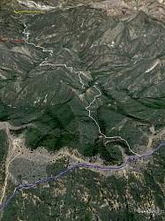
Looking north down the Lion Canyon Trail (white), courtesy of Google Earth. At the bottom, Nordhoff Ridge Road is blue. At the top, the Middle Sespe Trail is shown in yellow, with Piedra Blanca behind it. The Rose-Lion Connector Trail is red.
|
|
 |
The trailhead
|
|
 |
The trail starts by crossing a small stream. At this time of year, it has very little water in it, but it does have some.
|
|
|
|
|
|
|
|
|
|
 |
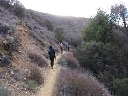
Stopping to find a geocache, with Lion Canyon in the background
|
|
 |
More of Lion Canyon
|
|
 |
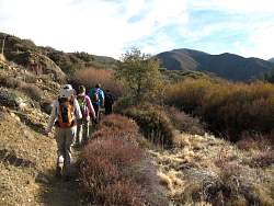
The connector trail to Rose Canyon
|
|
|
|
 |
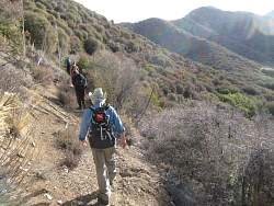
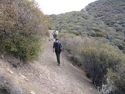
From here, the trail will start to climb more
|
|
|
 |
Looking back, we can see the floor of Lion Canyon falling away from us
|
|
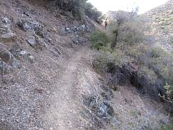 |
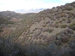
The trail is narrower and has some places sections with lots of exposure.
|
|
|
|
|
|
|
|
|
 |
We're about to cross over a ridge so a different canyon will be on our left side
|
|
 |
The cross-slope is pretty steep here
|
|
 |
The trail crosses a large scree-fall
|
|
|
|
 |
This geocache has a toy puppy in it!
|
|
 |
Looking back at the scree-fall
|
|
|