 |
Near the bottom of the trail that comes down from Simi Peak
|
|
 |
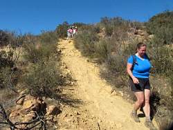
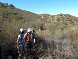
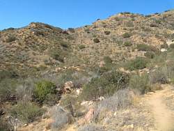
China Flat Trail
|
|
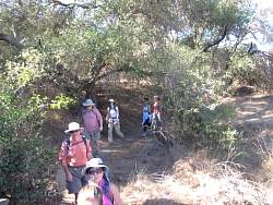 |
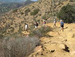
China Flat Trail
|
|
 |
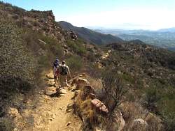
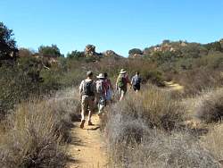
China Flat Trail
|
|
 |
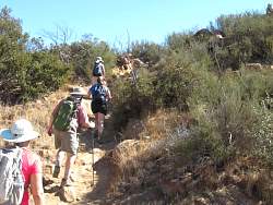
Trail from China Flat to Dead Cow Road and Suicide Trail
|
|
|
 |
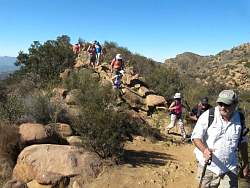
Starting up Suicide
|
|
 |
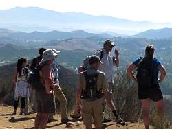
Pausing for a nice view over Oak Park
|
|
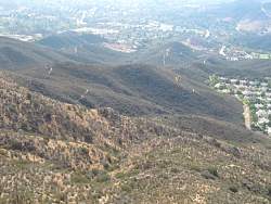 |
There are some prominent trails below us. I wonder which one(s) we'll take down?
|
|
 |
Heading down Suicide. It's rocky and somewhat steep
|
|
|
|
|
|
|
|
 |
Downhiller mountain bikers love the steep, rocky terrain!
|
|
|
 |
Some mountain bikers use this small cliff as a jump!
|
|
|
|
|
 |
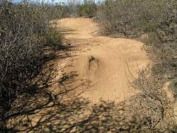
Look carefully and you may see tire tracks
|
|
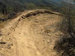 |
This turn with a high berm was built by mountain bikers
|
|
 |
A bike jump at the edge of the trail, easy to avoid if you don't want to launch yourself
|
|
|
 |
Another jump, just one of many
|
|
 |
This is the connector trail between Suicide and Dead Cow Road. It wraps around the contour (more or less). You can see more hikers far in front at the center-left of the picture.
|
|
 |
The trail ahead.
|
|
 |
The trail behind us.
|
|
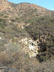 |
A waterfall, clearly seasonal
|
|
 |
The trailhead where we came out on Lindero Cyn Road
|
|