 |
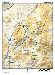
Topo map of the area I rode. Different colors are tracks from different days.
|
|
 |
Google Earth view of the riding area, looking south. I started at the pin labelled "Stoddard Valley OHV" at the center-right.
|
|
 |
View from the top of a nearby hill, looking generally south-east, at the staging area
|
|
 |
Looking a little more east, and zooming in, we see a huge pile of gravel.
|
|
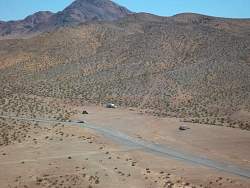 |
Zooming in on the staging area from the hill. There aren't any trees anywhere.
|
|
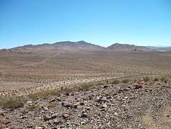 |
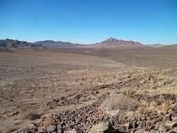
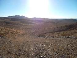
Looking south from the top of the hill
|
|
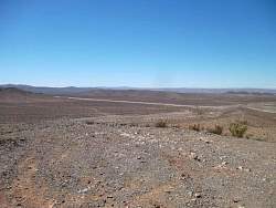 |
Looking south-west towards the freeway
|
|
 |
Looking north-west
|
|
 |
Looking north-east
|
|
 |
Looking east
|
|
 |
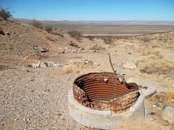
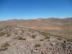
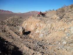
This quarry or mine is about 9 miles south-west of the staging area.
|
|
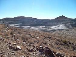 |
A closer look
|
|
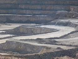 |
A zoomed-in view
|
|
 |
Looking north from near the quarry
|
|
 |
The road that overlooks the quarry is dug up so you can't get very close without walking
|
|
 |
Looking down one of the trails
|
|
 |
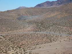
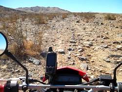
This OHV trail gets a lot of use!
|
|
 |
There are lots of rocky outcroppings. This one has a geocache hidden in it somewhere
|
|
 |
A nice stripe on the rock
|
|
|
|
 |
This trail is rocky, but not loose!
|
|
 |
This cactus has some white things on it that don't look like flowers
|
|
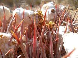 |
A closer look
|
|
 |
Just an interesting looking rock
|
|
 |
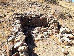
This is the foundation of a building at an old mine next to a spring
|
|
|
|
|
 |
Here's the spring, nearly overgrown
|
|
 |
There's where where the mine enters the hillside
|
|
 |
The mine passage has mostly filled in with debris, but not completely
|
|
 |
It looks wet in there!
|
|
 |
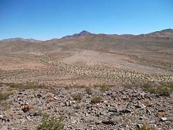
Another example of a trail
|
|