|
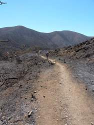
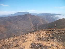
Looking back down the Chumash Trail that we were climbing up.
|
|
 |
One reason for hiking here was to check on the geocaches after the Springs Fire. This one was missing so we replaced it with a brand new container...
|
|
 |
...After hiding, this is what the geocache looked like.
|
|
|
|
 |
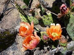
You would think these cacti were dead, but many of them have new growth on them
|
|
 |
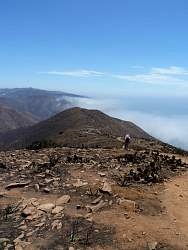
At the top of Chumash Trail, looking into La Jolla Valley
|
|
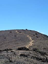 |
Looking up the trail that goes to the top of Mugu Peak, our next destination
|
|
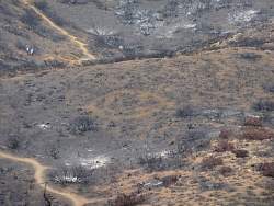 |
From above, you can see that someone has scraped a happy face in the ground!
|
|
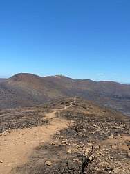 |
Looking west and back down the trail that climbs Mugu Peak
|
|
 |
The flagpole at the top is still in place. I guess someone replaced the flag after the fire
|
|
 |
The base of the flagpole has geocaching containers chained to it. What gives?
|
|
 |
This geocache looks okay, but it was melted shut, so we replaced it.
|
|
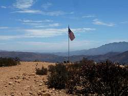 |
The Mugu Peak flag
|
|
 |
Looking east from Mugu Peak, with Boney Mtn in the distance, it's easy to see where all the trails go
|
|
 |
Looking North into La Jolla Valley
|
|
 |
Heading east and down, towards the La Jolla Canyon Trail
|
|
|
 |
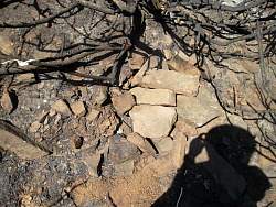
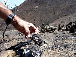
This geocache survived, but the contents were melted into a charred glob
|
|
|
|
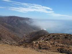 |
Looking down La Jolla Canyon
|
|
 |
A closer look at the La Jolla Canyon Trail
|
|
 |
Looking at the top of the La Jolla Canyon Trail
|
|
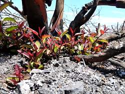 |
Plants are starting to regrow in places!
|
|
 |
Another geocache that didn't quite survive
|
|
|
|
 |
Months after the fire, a burned tree has succumbed and fallen over the trail
|
|
|
|
|
|
 |
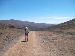
Looking west towards Mugu Peak from the La Jolla Valley Loop Trai
|
|