 |
Our route around Nicholas Flat as seen by Google Earth, looking from the north. We started near the bottom-left of the loop and hiked clockwise.
|
|
 |
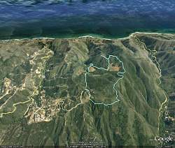
Our route around Nicholas Flat as seen by Google Earth, looking from the south. We started near the top-right of the loop and hiked clockwise. That's Sandstone Peak and Boney Mtn in the background.
|
|
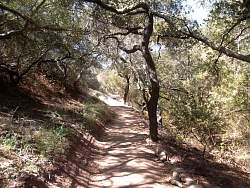 |
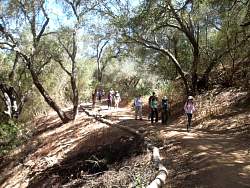
California State Parks is making over a couple of trails so they'll be wheelchair accessible. This is what the main trail from the parking area looks like now.
|
|
|
|
 |
There are two new bridges to make the stream crossing level. This is the first one.
|
|
 |
This is the second new bridge
|
|
 |
The Pond Trail has also been fixed up so it won't be soupy when it rains
|
|
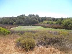 |
We haven't had much rain for the past year so the pond has dried up
|
|
 |
There's now a beautiful bench to sit and watch the pond
|
|
 |
From the natural rock dam that holds the pond back, there's a great view!
|
|
|
|
|
|
 |
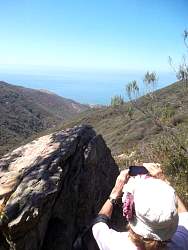
On a side trail to get to a point where we will have a 270-degree view, Sandstone Peak looms behind us
|
|
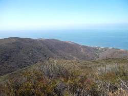 |
Part of the 270-degree view
|
|
|
|
|
|
|
|
|
 |
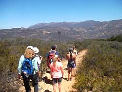
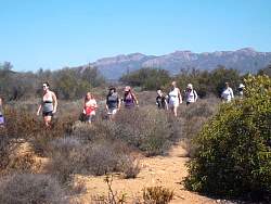
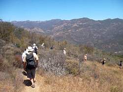
On the Ridge Trail heading north, the meadows of Nicholas Flat our to the east
|
|
|
|
|
|
 |
Mulholland Hwy down below
|
|
 |
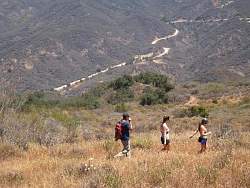
The Ridge Trail has some switchbacks
|
|
|
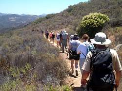 |
Malibu Springs / South Trail, heading east and back towards the cars
|
|
|
|
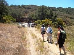 |
Back to the parking at the end of Decker School Road.
|
|
|
|